 |
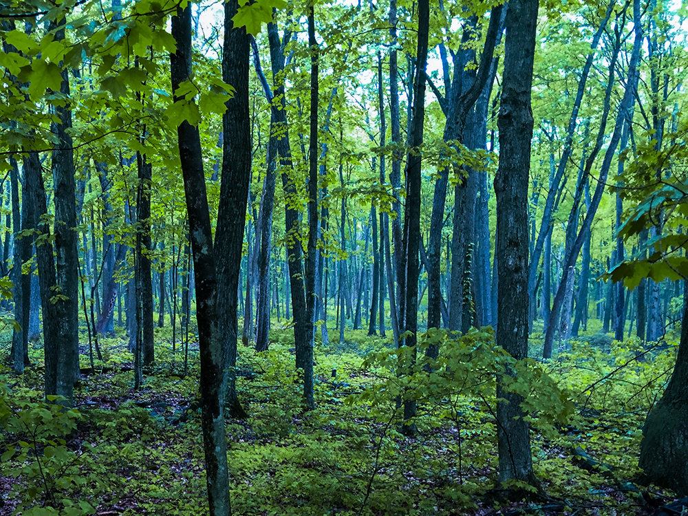
Baxter Hollow is a significant uninterrupted State Natural area protected by the Nature Conservancy. There is a difficult trail which runs between two nearly impossible to find parking lots. For hikers who have tramped on trails in New England you will recognize this kind of rocky trail. The trail is a single track difficult to see footpath that tramples over uneven large granite stones. There are many stream crossings. The deep woods is dark and mysterious at Baxter Hollow.
{tocify} $title={Table of Contents}
$ads={1}
advertisement
You will feel transported out of Wisconsin on this unusual trail at Baxter Hollow. Seasoned back country hikers with trekking poles will make quick work of this 4.6 mile out-and-back. But, regular Wisconsin walkers will be stumbling all the way along this rocky trail which might better be described as a shallow stream bed.
If you're in the mood for a workout in the deep woods and can handle hoards of mosquitos and the damp verdue of a wet mountain like environment then this is the trail for you.
The Nature Conservancy is notorious for terrible trail blazing. This is a mostly uninteresting trail in a very interesting place. You could get in some good hill climbs and find some amazing views beside rushing creeks - but you'll have to bushwhack your way around. Do so only if you have a compass and know how to use one; Baxter Hollow is an enormous property and it would be possible to become lost and spin around without finding a road for several hours.
All that said, I reveled in the trail as I trekked it in pouring rain. It brought me right back to my beloved New England trail hiking. This is one of the only trails in Southern Wisconsin that I could actually call a rustic trail.
Overview: Baxter Hollow
COUNTYSAUK COUNTY
COMMUNITIES
NORTH FREEDOM, BARABOOK
TOTAL MILES
2.3-MILE POINT-TO-POINT
DIFFICULTY
MODERATE
LOWEST ELEVATION
1030 AMSL
HIGHEST ELEVATION
1410 AMSL
TOTAL ELEVATION GAIN
700 FT
TOTAL ELEVATION LOST
-480 FT
POINTS OF INTEREST
Otter Creek, Baxter Hollow Natural Area
Directions and Trail Map
Find your way to Happy Hill Road in North Freedom. A straight road shoots off to the south from Happy Hill Road called Forest Drive. Drive to the end of pavement on Forest Hill Road. Continue on the gravel road for a mile. There will be a turn around with room for 5 parked cars at the end of the gravel drive. You will see signage for the trail there.
Click Map Image to load the full interactive map.
Address for your GPS: n/a
|Forest Drive Parking Coordinates: 43.409989, -89.818408 |
|Stone's Pocket Road Parking Coordinates: 43.395346, -89.798764 |
| From Milwaukee | 2 Hours |
| From Madison | 1 Hour |
| From Green Bay | 3 Hours |
| From Wausau | 2.5 Hours |
| From Minneapolis | 4 Hours |
| From Chicago | 3 Hours |
Photos
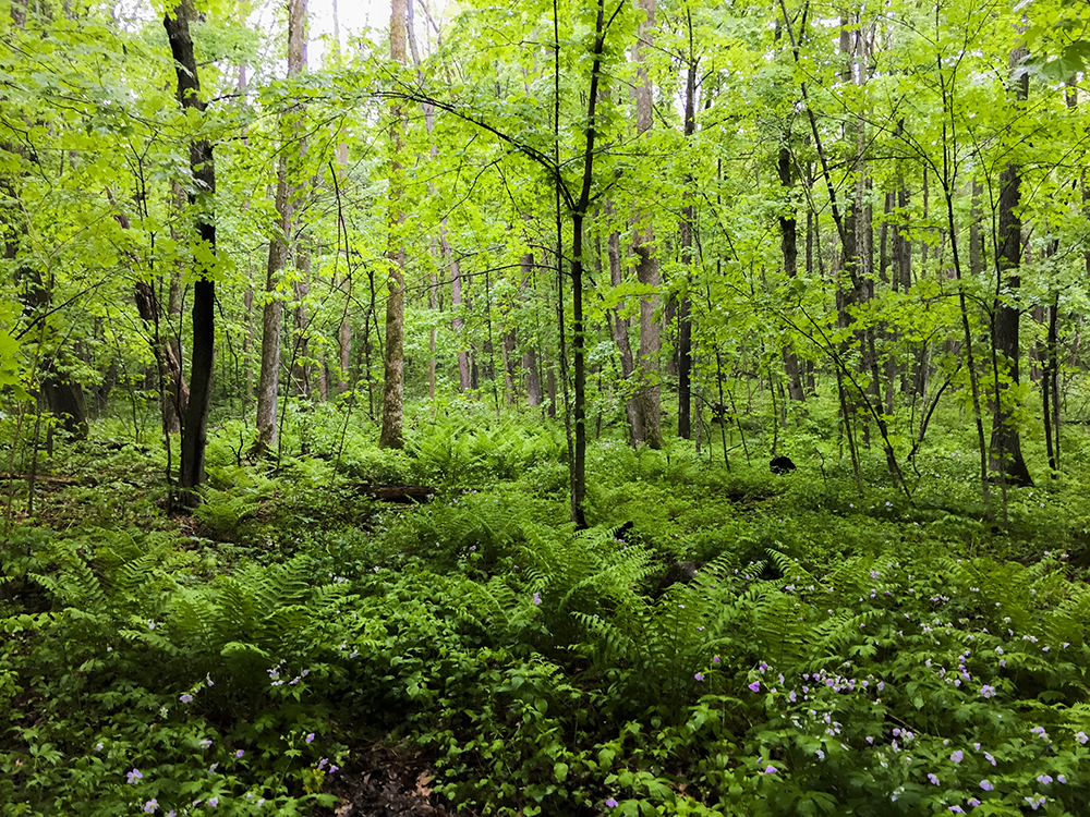 |
| Baxter Hollow in North Freedom WI |
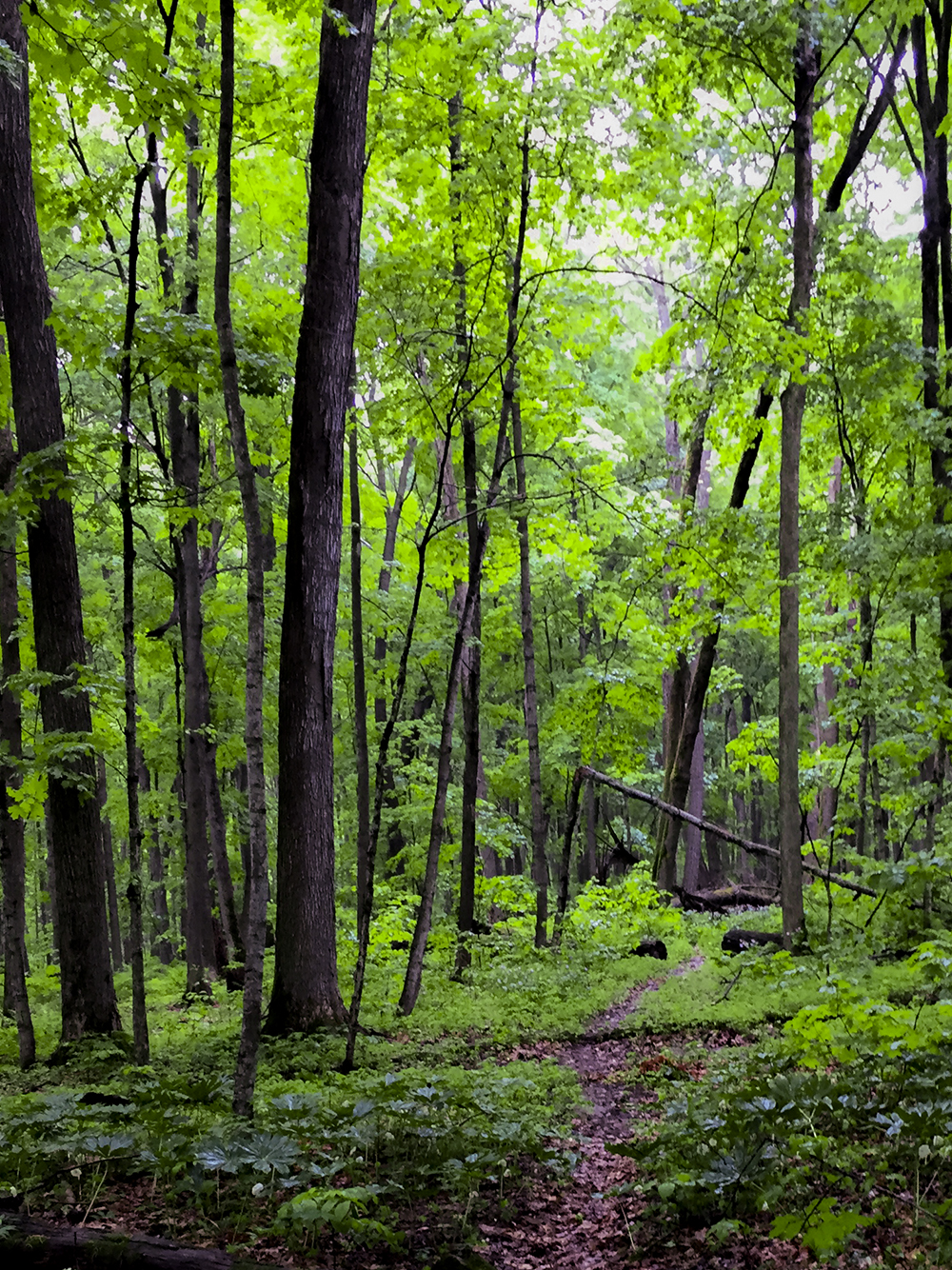 |
| Baxter Hollow in North Freedom WI |
 |
| Baxter Hollow in North Freedom WI |
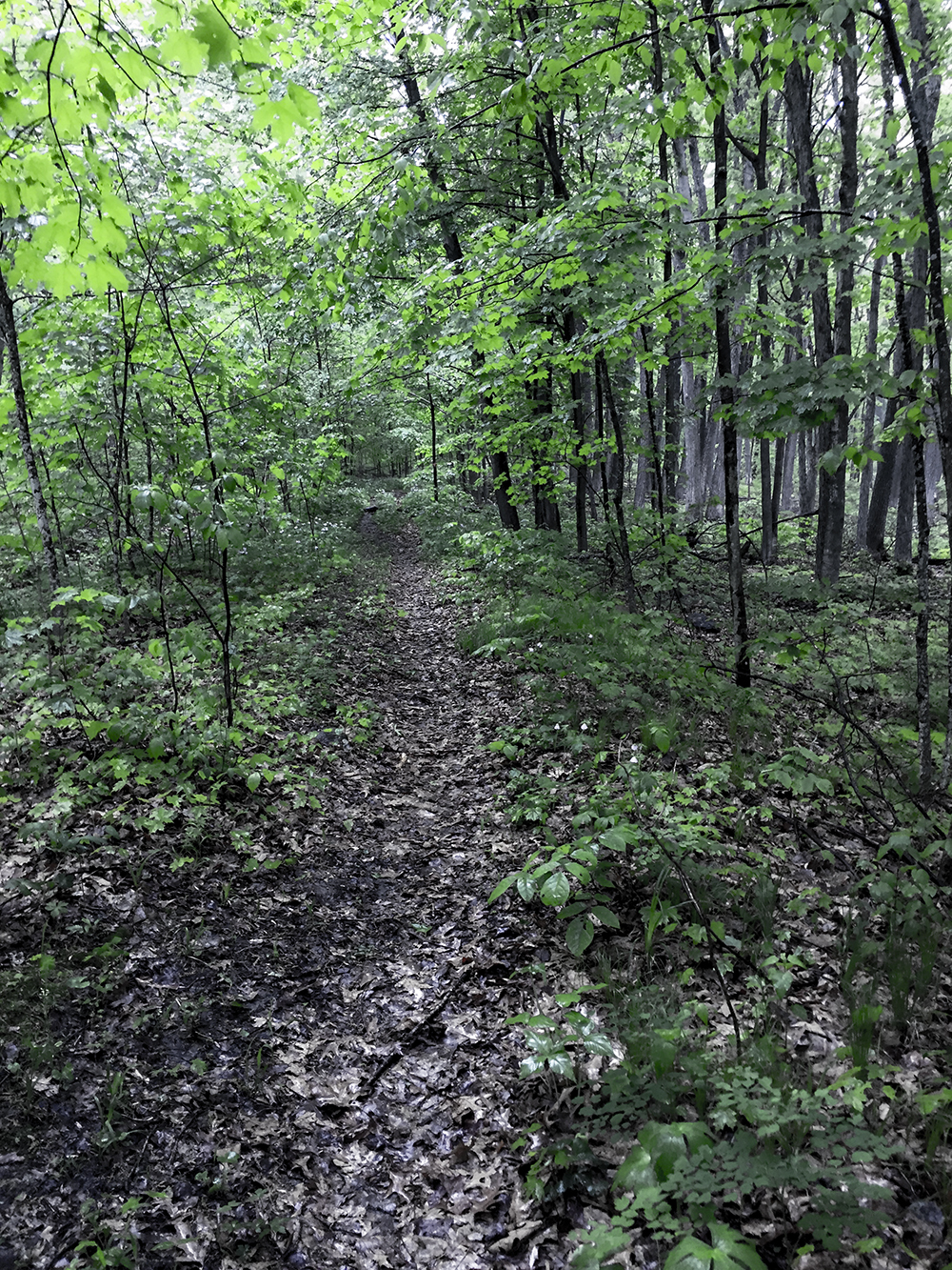 |
| Baxter Hollow in North Freedom WI |


