|
| Brownstone Falls at Copper Falls State Park |
The North Country National Scenic Trail crosses Wisconsin between Upper Michigan and Minnesota. Most of Wisconsin's portion of this trail is developed into footpath - but a significant section between Copper Falls State Park and the Upper Michigan border remains to be completed. That makes the Copper Falls segment Wisconsin's de facto eastern trailhead. This segment begins at Mill Road and meanders through Copper Falls State Park alongside the Bad River. It continues along footpaths into the town of Mellen. From Mellen there are a few miles of roadside hiking before the trail turns into the Chequamegon National Forest (pronounced: she-want-me-gone).
Most visitors to Copper Falls State Park will hike a small portion of the NCT that parallels The Doughboy's Trail. This scenic park trail loops around the confluence of Tyler Forks and The Bad River. Two of the Midwest's most magnificent waterfalls are viewed from this trail: Brownstone Falls and Copper Falls. Another loop is formed connecting the CCC trail which leads to an observation tower at the highest point of the trail.
With several camping options - from the remote North Backpacker's Campsite to walk-in and drive-in sites - and amenities ;such as a beach, nature center, water stations, and many miles of excellent hiking trails - Copper Falls is the perfect place to kick-off a weekend backpacking trip along the North Country Trail or to just to get out on a trail for an easy day hike.
{tocify} $title={Table of Contents}
$ads={1}
advertisement

|
| Along the Doughboy's Trail - Copper Falls State Park WI |
Copper Falls State Park delivers scenic wonders with the same explosive pomp of a Tchaikovsky suite. A family of tumultuous and thundering waterfalls play out driving base lines while delicate angle hair currents thread through stone canyons.
The Bad River is split into twins at Copper Falls where the river bottom drops 29 feet into a steep walled canyon - a cut 200 million years in the making. Just downstream, Tyler Forks of the Bad River joins the main channel with the splendid 30 foot Brownstone Falls. The reunited Bad River then progresses through Devil's Gate - a narrow pinch of red stone that is as a dramatic a view as the name implies.
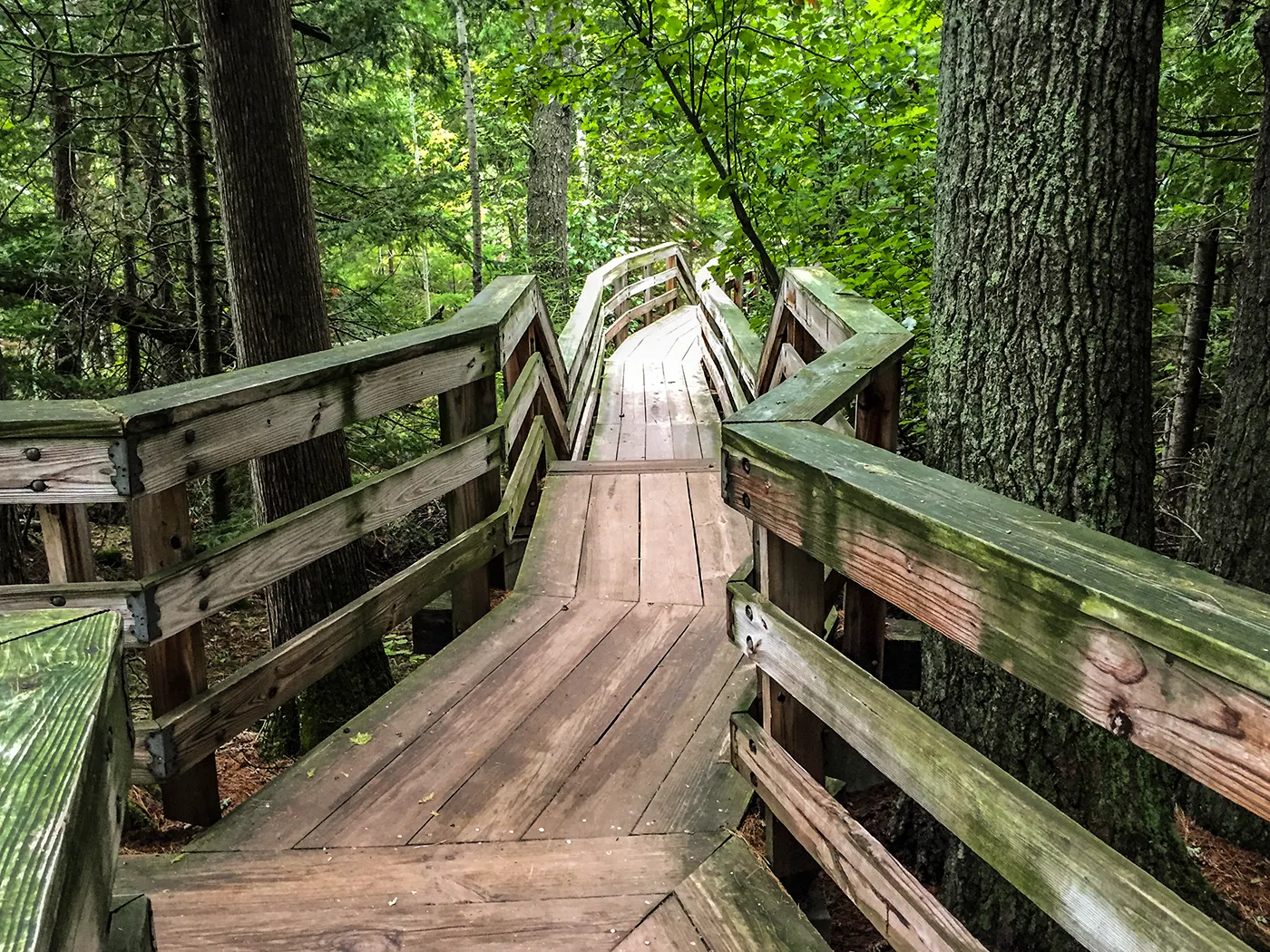
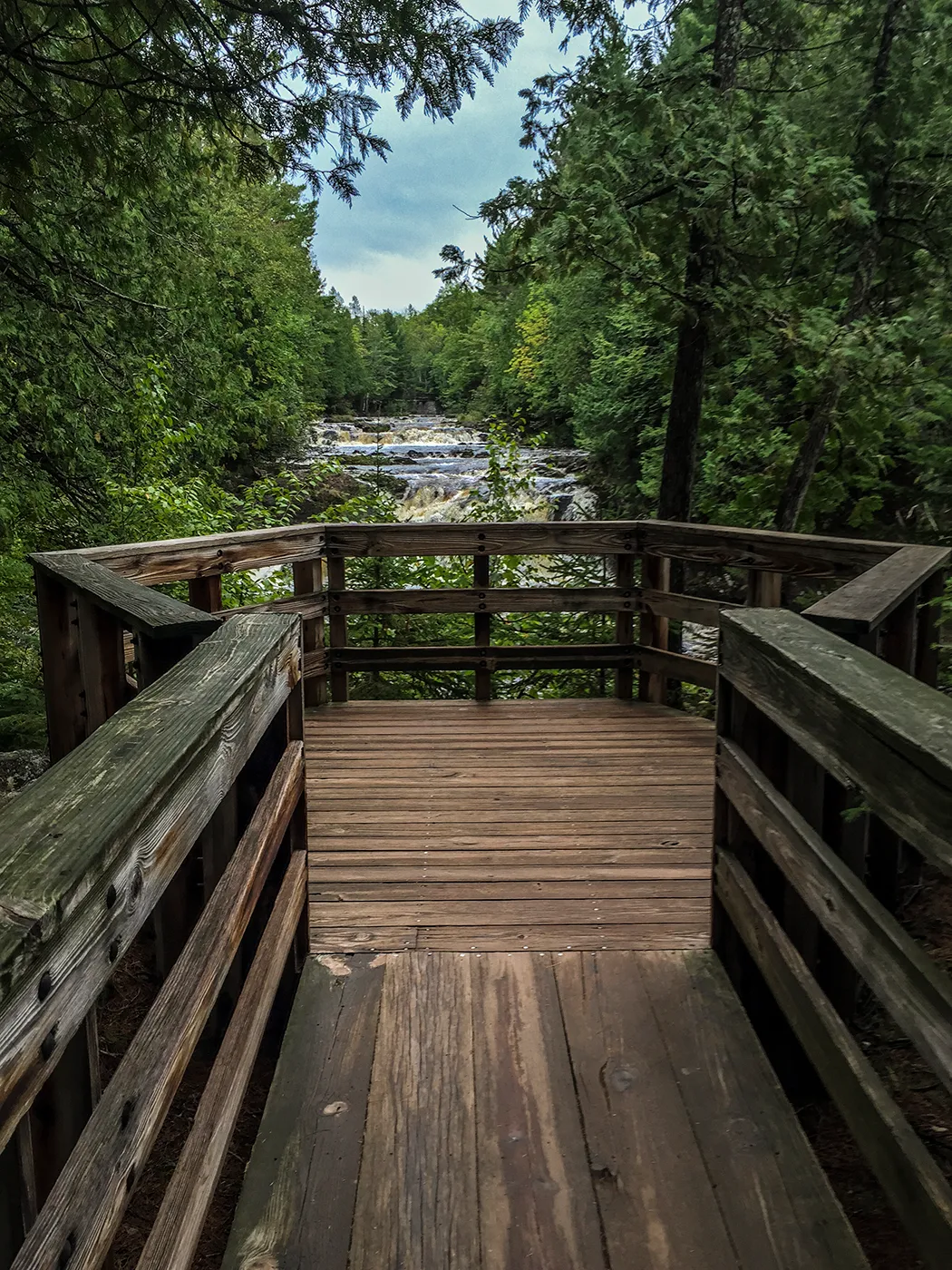
Surrounding these scenic highlights are impressive CCC trails constructed to endure a millennium. Recently created boardwalks take visitors to various overlooks including one at the very top of Brownstone Falls. The most popular trail route is a loop around the the canyon which contains Brownstone and Copper Falls. This is the Doughboy's Trail. It is among the most popular walking trails in Wisconsin.

|
| Copper Falls at Copper Falls State Park WI |
A spur that creates a second loop off the Doughboy's Trail is the CCC 692 trail. This trail provides healthy climbs through thick woodlands up to the highest point in the park where there is an observation tower. It is fun to climb the tower - though not much can be observed as it rises to a height just short of the tree canopy.
Most visitors will only walk these two main attraction trails, but the park itself is larger than its core attractions. The North Country National Scenic Trail offers 8 additional linear miles of hiking within the park boundaries. Getting out on the northern extension of the North Country Trail offers the chance for more solitude and the opportunity to observe wildlife such as black bears, deer, moose, wolves. Use of a bear bell and a handy can of bear spray is advised in these lesser traveled areas of the park if you would prefer to avoid such wildlife encounters.
A few miles north of Brownstone Falls is a secluded hiker's campsite on the banks of the Bad River. It is equipped with a fire ring and a vault toilet. Imagine yourself pitching your tent a mere feet away from the rapids of the Bad River.

|
| Hiker's North Campsite on the North Country National Trail - Copper Falls Segment |
For campers who choose the road more traveled there are plenty of great sites in the two main drive in camp grounds closer to the center of the park. Sites 22, 24, and 28 are among the most popular sites. Campers also enjoy taking a dip in Loon Lake where there is a man made beach. This is a great place to check out on a clear night. The stars are plentiful when viewed from the pitch black Loon Lake beach.
Trails on the southern end of the park are wide and easy. One double loop leads to Red Granite Falls - which is a cascade and waterfall fit to wrap a state park around - yet becomes small and unimpressive when compared to the big show of Copper and Brownstone Falls.
The North Country Trail continues South out of the park along footpaths. At Mellen the footpaths give way to sidewalks. A few miles of road walking are required to reach the next segment of the NCT - The Chequamegon segment. The Chequamegon section is highly developed with footpaths that continue uninterrupted into the wilderness of Up North Wisconsin. There are campsites and water stations provided at key intervals through that segment. But, also, in the National Forest you are free to set up camp where you like in the designated wilderness areas of the Chequamegon National Forest. This includes the Porcupine Lake Wilderness.
Ashland is a half hour drive north from Copper Falls. The Ashland and Bayfield area are surrounded by national forest on the mainland and the Apostle Islands National Seashore along the coastline and islands. There are many more camping, hiking, biking, and kayaking opportunities throughout the national forest and national park. The entire region between Mellen and Cornucopia is a land of wonders drawing tourist from across the nation and world. Copper Falls State Park is a must-do for any Wisconsin explorer from near or far.
**Photos, Videos, Interactive Trail Map, and Links below***

|
| Observation Deck on the CCC Trail at Copper Falls State Park |
Overview: North Country National Scenic Trail - Copper Falls Segment
COUNTY: Ashland
COMMUNITIES: Mellen
TOTAL MILES: 13.4 Linear -
DIFFICULTY: Easy-Moderate
POINTS OF INTEREST: Brownstone Falls, Copper Falls, Loon Lake, Bad River, Tyler Forks
NEXT NCT SEGMENT EASTBOUND
PORCUPINE HILL SEGMENT
NEXT NCT SEGMENT WESTBOUND
MELLEN SEGMENT
DOUGHBOY'S TRAIL
TOTAL MILES: 1.7 Loop
DIFFICULTY: Easy
CCC 692 TRAIL
TOTAL MILES: 1 Mile linear (makes a loop with Doughboy's Trail
DIFFICULTY: Moderate
Directions and Trail Map
Click Map Image to load the full interactive map.
Click Map Image to load the full interactive map.
If viewing on a mobile device, open the trail map above to load into Google Maps App by touching the expand rectangle in the upper right corner
Address for your GPS: 36764 Copper Falls Rd, Mellen, WI 54546
| coordinates: 46.371717, -90.643002 |
| From Milwaukee | 5.5 Hours |
| From Madison | 4.5 Hours |
| From Green Bay | 4 Hours |
| From Wausau | 2.5 Hours |
| From Minneapolis | 3.5 Hours |
| From Chicago | 6.5 Hours |
Photos

|
| Brownstone Falls at Copper Falls State Park |

|
| Bad River in Copper Falls State Park |

|
| Rest spot on the Doughboy's Trail in Copper Falls State Park |

|
| Bad River at Devil's Gate in Copper Falls State Park |

|
| Boardwalk to Brownstone Falls and Tyler Forks on the Doughboy's Trail - Copper Falls State Park |

|
| Boardwalk to Brownstone Falls and Tyler Forks on the Doughboy's Trail - Copper Falls State Park |

|
| Bad River downriver of Devil's Gate at Copper Falls State Park |

|
| Start of the Doughboy's Trail at Copper Falls State Park |

|
| Bad River downriver of Devil's Gate at Copper Falls State Park |

|
| View from the North Country National Trail - Copper Falls North Extension |

|
| CCC Trail at Copper Falls State Park |

|
| North Country and Doughboy's Trail at Copper Falls State Park |

|
| Tyler Forks of the Bad River at Copper Falls State Park |

|
| Tyler Forks Joining the Bad River above Brownstone Falls |

|
| Tyler Forks Joining the Bad River above Brownstone Falls |

|
| View from the Backpacker's North Campsite on the North Country National Trail - Copper Falls |
Video
Links
Copper Falls State ParkNorth Country National Trail
Ashland County Hiking
Chequamegon National Forest

