|
{tocify} $title={Table of Contents}
$ads={1}
advertisement

|
| Ice Age Trail Mecan River Segment |
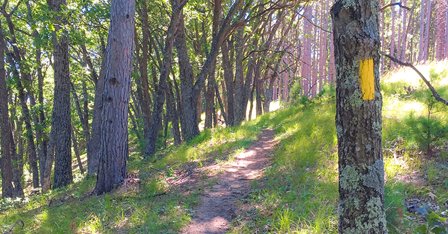
The Mecan River Segment is an extremely nice walk. I walked it on a perfect day for hiking - 78 degrees, blue skies, and breezy. It was about as perfect an afternoon hike as I can imagine. There is a balance of shaded forest trail and sun-drenched prairie walks. The mid-summer wildflowers were in full bloom.
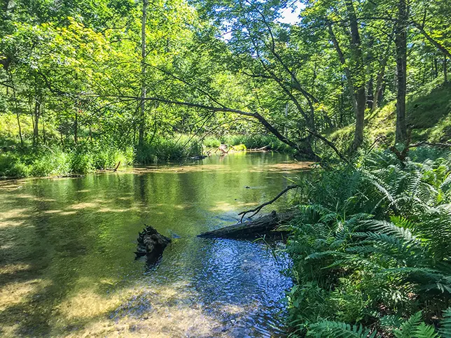
Though the trail is usually very close to the Mecan River, there are few views of it. I had to walk off the trail and into the ravine to catch a close-up photo of the shallow Mecan River. Generally, the trail is routed at the top of a steep ridge and ravine above the Mecan. There are long and wide understory views in the forested sections of the trail, and the glint of the river below reminds hikers that it is this river that the defines the trail route.
The Mecan River trail nearly connects to the Greenwood Segment - within only two blocks of road walking on Buttercup and 6th Lane. There is a disperse camp area near this northwestern trailhead. The next segment heading eastbound is the Wedde Creek Segment which is about 7 miles along roads from the southeastern Mecan River trailhead on Cumberland Road.

|
| Ice Age Trail Mecan River Segment |
Overview: Ice Age National Scenic Trail - Mecan River Segment
COUNTYWAUSHARA COUNTY
COMMUNITIES
RICHFORD
TOTAL MILES
7.7-MILE POINT-TO-POINT
DIFFICULTY
EASY
LOWEST ELEVATION
921 AMSL - 9TH AVE
HIGHEST ELEVATION
1205 AMSL - DISPERSE CAMPING AREA
TOTAL ELEVATION GAIN
1212 FT
TOTAL ELEVATION LOST
-1400 FT
NEXT IAT SEGMENT EASTBOUND
WEDDE CREEK SEGMENT
NEXT IAT SEGMENT WESTBOUND
GREENWOOD SEGMENT
CAMPING
Disperse Camping Area
POINTS OF INTEREST
Mecan Springs State Fishery Area, Mecan River
Directions and Trail Map
DOWNLOAD PRINTABLE PDF USGS TOPOGRAPHIC MAPRICHFORD QUADRANGLE
Click Map Image to load the full interactive map.
Address for your GPS: 1 6th Lane, Coloma, WI 54930
| coordinates: 44.058240, -89.485515 |
| From Milwaukee | 2 Hours |
| From Madison | 1.5 Hours |
| From Green Bay | 2 Hours |
| From Wausau | 1 hour |
| From Minneapolis | 3.5 Hours |
| From Chicago | 3.5 Hours |
Photos

|
| Ice Age Trail Mecan River Segment |

|
| Ice Age Trail Mecan River Segment |

|
| Ice Age Trail Mecan River Segment |

|
| Ice Age Trail Mecan River Segment |

|
| Ice Age Trail Mecan River Segment |

|
| Ice Age Trail Mecan River Segment |

|
| Ice Age Trail Mecan River Segment |

