 |
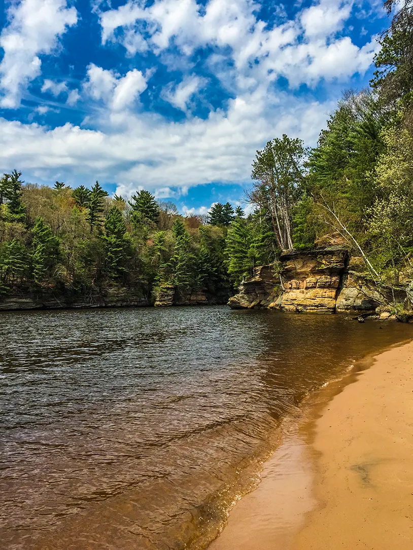
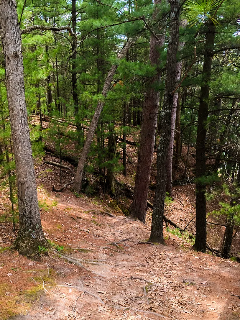
The Dells of The Wisconsin Natural Area is a nature preserve along the banks of the Upper Dells at the mouth of The Narrows. You can access this area via a parking lot on River Road near The Birchcliff Resort. The Chapel Gorge hiking trail blazes through hardwood and Norway pine forest for two miles. This easy two track walking trail eventually leads to a "secluded" natural beach at the point where the Wisconsin River exits The Narrows. This scenic spot is a great retreat for locals and visitors to Wisconsin Dells.
{tocify} $title={Table of Contents}
$ads={1}
advertisement
 |
| Hiking at Dells of The Wisconsin State Natural Area |
Nestled in between a parade of mega resorts and the ballroom blitz of downtown Wisconsin Dells sleeps a quiet and (secluded) state natural area. You've passed by it on your way to the golf course on River Road, or on your way into town for the barbecue buffet. But, yet, there it is as it has always been .. the original Wisconsin Dells attraction: Nature.
If you really want to get up close to the natural wonders of carved sandstone towers and mysteriously deep green gulches you'll have to take the Dells River Boat Tours or ride a Duck. You can't walk into Witches Gulch or Coldwater Canyon. But, you can walk down to a natural beach at the point where the wide Wisconsin River twists and turns through its infamous and deadly Narrows.
The walk itself is a 2 mile loop through a hardwood forest. But, the beach is the real attraction here. As far as beaches go in Wisconsin, this one is as close as it gets to picture perfect.
You'll want to lay out with a good book and take in the rays for the afternoon. But, prepare your best pose. Boatloads of tourists will be instructed by their guides to ready their cameras as they round the bend to enter The Narrows.
This secret place is usually frequented by staff members of the various Dells shops and resorts - the people who are just looking to get away from the hustle on their breaks. And, even though I'm writing about it as so many others have already, it will still be just as secret as it has always been ... a great outdoors escape hiding in plain sight.
 |
| Hiking at Dells of The Wisconsin State Natural Area |
Chapel Gorge Trail
COUNTYSAUK
COMMUNITIES
WISCONSIN DELLS
TOTAL MILES
2-MILE LOOP
DIFFICULTY
EASY
LOWEST ELEVATION
842 AMSL
HIGHEST ELEVATION
980 AMSL
TOTAL ELEVATION GAIN
473 FT
POINTS OF INTEREST
THE NARROWS, SECLUDED BEACH, WISCONSIN RIVER
OTHER ACTIVITIES
SWIMMING, FISHING
Directions and Trail Map
Click Map Image to load the full interactive map.
If viewing on a mobile device, open the trail map above to load into Google Maps App by touching the expand rectangle in the upper right corner.
Address for your GPS: 4155-4167 River Rd, Wisconsin Dells, WI 53965
| coordinates: 43.648740, -89.774975 |
| From Milwaukee | 2 Hours |
| From Madison | 1 Hour |
| From Green Bay | 2.5 Hours |
| From Wausau | 2 Hours |
| From Minneapolis | 3.5 Hours |
| From Chicago | 3 Hours |
Photos
CLICK TO ENLARGE IMAGES
 |
| Hiking at Dells of The Wisconsin State Natural Area |
 |
| Hiking at Dells of The Wisconsin State Natural Area |
 |
| Hiking at Dells of The Wisconsin State Natural Area |
 |
| Hiking at Dells of The Wisconsin State Natural Area |
 |
| Hiking at Dells of The Wisconsin State Natural Area |
 |
| Hiking at Dells of The Wisconsin State Natural Area |
 |
| Hiking at Dells of The Wisconsin State Natural Area |

