|
| Ice Age Trail Waterville Segment in Waterville WI |
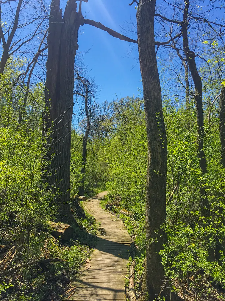
The Waterville Segment is a short 2-mile-long segment of the Ice Age National Scenic Trail in Waukesha County. It is separated by roadway connecting routes between the adjacent Scuppernong and Lapham Peak segments. The Waterville Trail passes through lightly wooded greenways in an upscale residential neighborhood. There are few sights, but the gentle terrain is a breeze for seasoned hikers.
{tocify} $title={Table of Contents}
$ads={1}
advertisement

|
| Ice Age Trail Waterville Segment in Waterville WI |
The Southern Kettle Moraine State Forest attracts hiking and outdoor enthusiasts from across the nation, but mostly from Milwaukee and Chicago area. It is packed with recreational opportunities from renowned mountain biking trails to horse trails, fishing lakes, campgrounds, and of course some of the most popular miles of the Ice Age National Trail.
The Waterville Segment fits into all of this natural tourist activity as a quiet connecting route between Lapham Peak and Scuppernong. As an individual hike it is not very popular considering the number of excellent trail miles that surround it. But it does serve an important role as a connecting route for long distance hikers - be they weekend warriors or through hikers.
There is nothing particularly scenic about this segment, but it is a quiet walk through a hardwood forest and includes some open meadows aside agricultural fields. You won't find any water sources or restrooms on this segment, and there is not an official parking lot - however two cars may fit on the shoulder at the trailhead on S. Waterville Road. There is street parking at Tallgrass Court as well.

|
| Ice Age Trail Waterville Segment in Waterville WI |
Ice Age National Scenic Trail - Waterville Segment
COUNTYWAUKESHA COUNTY
COMMUNITIES
WATERVILLE
TOTAL MILES
2-MILE POINT-TO-POINT
DIFFICULTY
EASY
LOWEST ELEVATION
900 AMSL
HIGHEST ELEVATION
1020 AMSL
TOTAL ELEVATION GAIN
330 FT
TOTAL ELEVATION LOST
-360 FT
NEXT IAT SEGMENT EASTBOUND
LAPHAM PEAK SEGMENT
NEXT IAT SEGMENT WESTBOUND
SCUPPERNONG SEGMENT
Directions and Trail Map
Click Map Image to load the full interactive map.
If viewing on a mobile device, open the trail map above to load into Google Maps App by touching the expand rectangle in the upper right corner.
Address for your GPS: W350S2845 Waterville Rd, Ottawa, WI 53066
| coordinates: 42.996070, -88.443437 |
| From Milwaukee | .5 Hour |
| From Madison | 1 Hour |
| From Green Bay | 2.5 Hours |
| From Wausau | 2.5 Hours |
| From Minneapolis | 4.5 Hours |
| From Chicago | 2 Hours |
Photos

|
| Ice Age Trail Waterville Segment in Waterville WI |

|
| Ice Age Trail Waterville Segment in Waterville WI |

|
| Ice Age Trail Waterville Segment in Waterville WI |

|
| Ice Age Trail Waterville Segment in Waterville WI |

|
| Ice Age Trail Waterville Segment in Waterville WI |

|
| Ice Age Trail Waterville Segment in Waterville WI |

