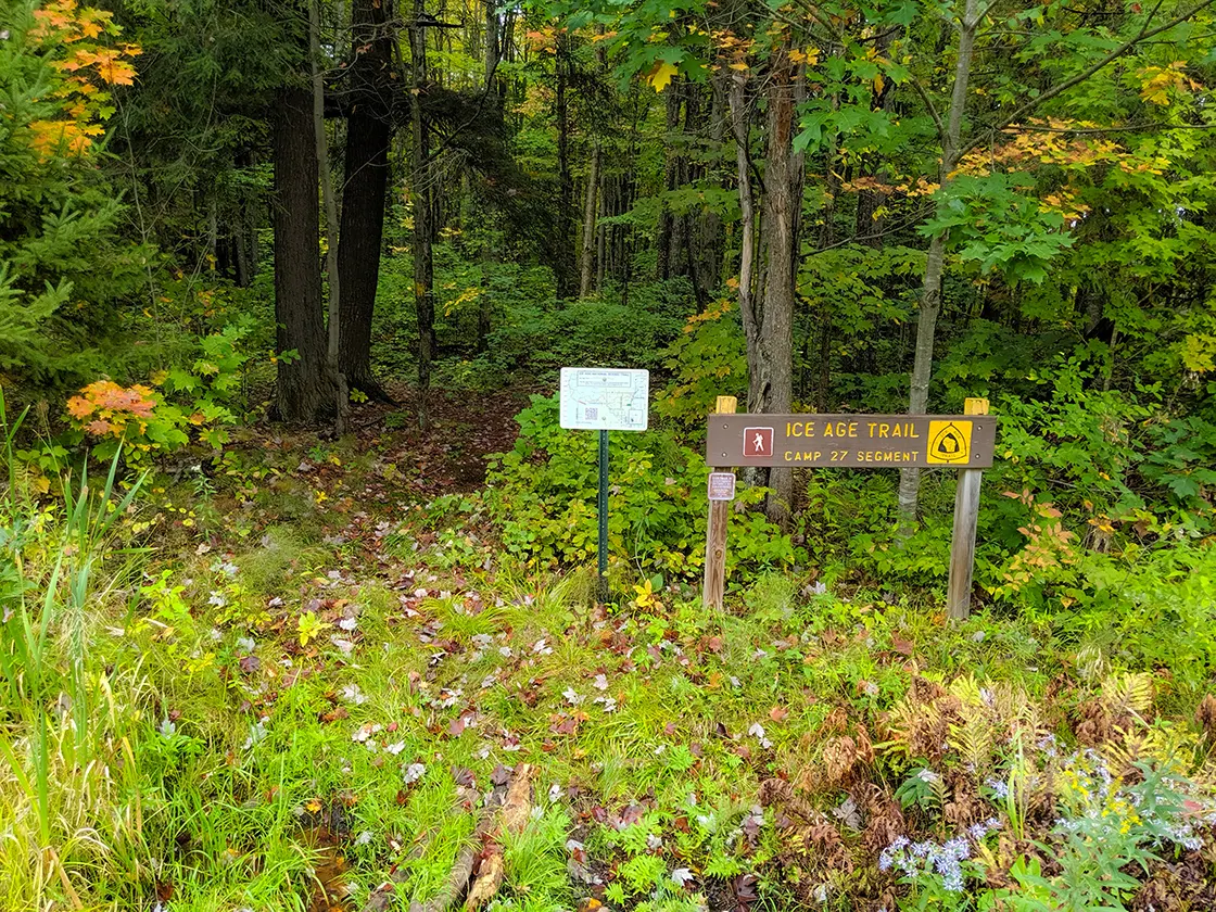
The Camp 27 trail is a 2.8-mile point-to-point segment of the Ice Age National Scenic Trail. It extends between Tower Road, two miles south of the Timberland Wilderness Segment trailhead, into the the New Wood State Wilderness Area, crosses the Copper River and its north fork, and finishes at Conservation Road where it meets the trailhead for the New Wood Segment.
The historic logging Camp 27, for which the trail is named, is located a quarter mile north of the trail. This camp and the land surrounding the trail were owned and logged by the Rib Lake Logging Company of Delaware. The Area was converted to a wildlife preserve in 1945.
{tocify} $title={Table of Contents}
$ads={1}
advertisement

|
| Ice Age Trail Camp 27 Segment Beaver Pond |
This trail is short, but it's a fun, woodsy and wilderness trail. From Tower Road heading east you'll start by crossing a long beaver dam. Don't worry about this too much, it's a very wide and stable beaver dam - and high off the water. You won't get your feet wet. The pond itself is large and picturesque with spikey pine trees huddled on its far end.
The tail is an easy to follow single track footpath that is worn and well maintained. Some areas have loose stones that can be a bit hard on the ankles.
Following the beaver dam, the next obstacle is a ford crossing of Copper Creek. I happened to be hiking this trail segment in the rain, following several wet weeks, so I can't imagine Copper Creek being much higher than it was when I encountered it. I had prepared myself by bringing sandals for the stream ford, but it is always a hassle to change shoes during a hike. It turned out that I was able to balance using my trekking poles on stones that were just slightly submerged and make it across with relatively dry feet. It took only 4 steps to cross the creek.
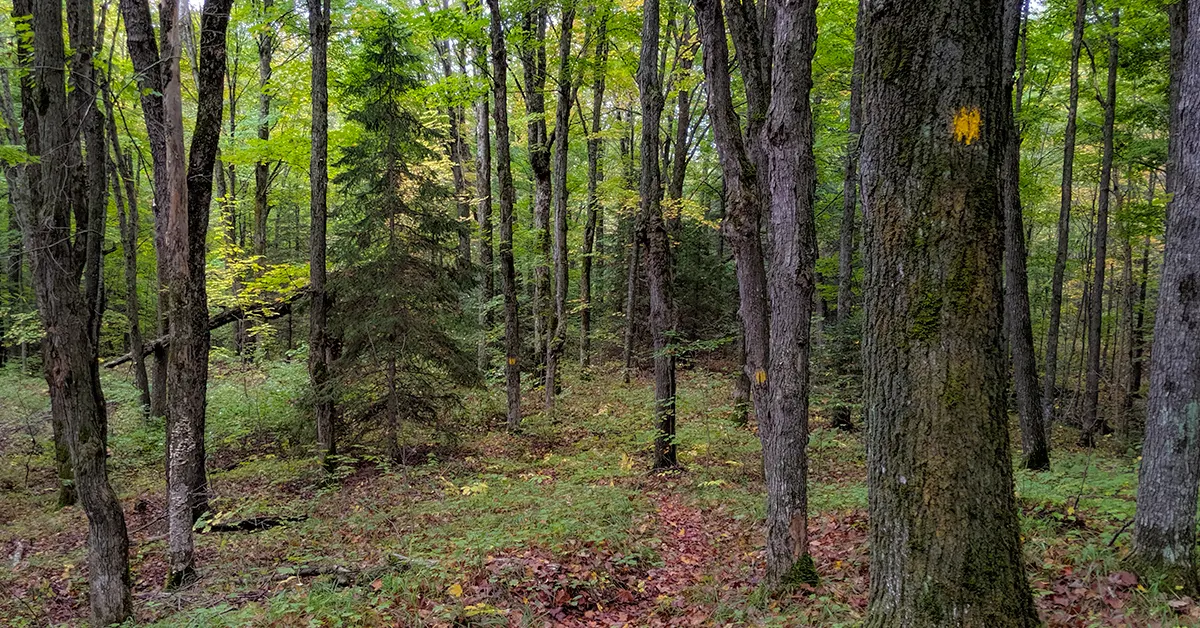
Other than the river ford and the beaver dam, there is not much other noteworthy sights along the trail. The trail passes through New Wood Wildlife Area and it was heavily logged up to the 1940's. The trees are mature enough to provide a shaded canopy throughout the forest, but it is a very clean, open, young forest ... and all of the trees are about equal in height. There isn't any primitive camping allowed in the New Wood Wildlife Area; your next best bet for camping is along the New Wood River in the Lincoln County Forest.
The Camp 27 Segment finishes at Conservation Road where the New Wood Segment begins. There is a deceptively long walk from there up Conservation Road to reach the parking area.
And, I'll leave you with a word about parking. The map in the IAT guidebook and the map on the New Wood Wildlife Area website are incorrect and hard to follow. When I was driving in, I thought I had gone too far and actually backed out and turned around several times. In areas such as these there are always new temporary logging roads to throw you off, and you don't want to go too far down a temporary road lest you get stuck in the mud. If you take a look at my GPS map, you should feel confident driving all the way to the parking area closest to the trailheads for New Wood and Camp 27. It may look like the last leg is a temporary logging road, but it is a permanent road that is a single lane and in very rough condition, and there is a large grassy parking area further down by the trail with plenty of room for large vehicles and room to turn around.

|
| Ice Age Trail Camp 27 Copper Creek Ford |
Ice Age Trail Camp 27 Segment
COUNTY
LINCOLN
COMMUNITIES
CORNING, HARDING, MERRILL
TOTAL MILES
2.8-MILE POINT-TO-POINT
DIFFICULTY
MODERATE
LOWEST ELEVATION
1462 AMSL
HIGHEST ELEVATION
1529 AMSL
TOTAL ELEVATION GAIN
386 FT
TOTAL ELEVATION GAIN
382 FT
NEXT IAT SEGMENT HEADING EASTBOUND
NEW WOOD SEGMENT
NEXT IAT SEGMENT HEADING WESTBOUND
TIMBERLAND WILDERNESS SEGMENT
Directions and Trail Map
DOWNLOAD PRINTABLE PDF USGS TOPOGRAPHIC MAPNATZKE CAMP QUADRANGLE 2018
Click Map Image to load the full interactive map.
If viewing on a mobile device, open the trail map above to load into Google Maps App by touching the expand rectangle in the upper right corner.
Address for your GPS: Conservation Ave Corning Wisconsin 54452
| coordinates: 45.299655, -89.969109 |
| From Milwaukee | 4 Hours |
| From Madison | 3 Hours |
| From Green Bay | 2.5 Hours |
| From Wausau | 1 Hour |
| From Minneapolis | 3.5 Hours |
| From Chicago | 5 Hours |
Photos

|
| Ice Age Trail Camp 27 Segment |

|
| Ice Age Trail Camp 27 Segment |

|
| Ice Age Trail Camp 27 Segment |

|
| Ice Age Trail Camp 27 Segment |

|
| Ice Age Trail Camp 27 Segment |

|
| Ice Age Trail Camp 27 Segment |

|
| Ice Age Trail Camp 27 Segment |
Links
New Wood State Wildlife AreaIce Age National Trail Alliance
Ice Age National Trail - National Parks Service


