 |
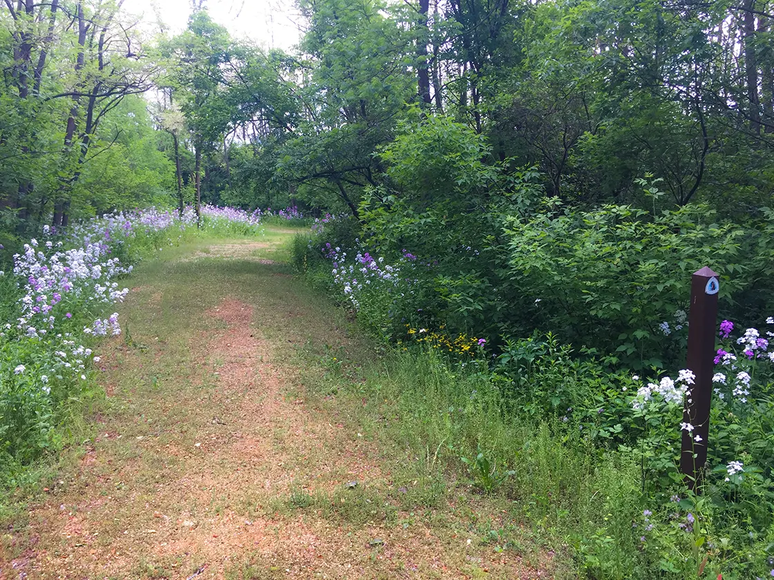
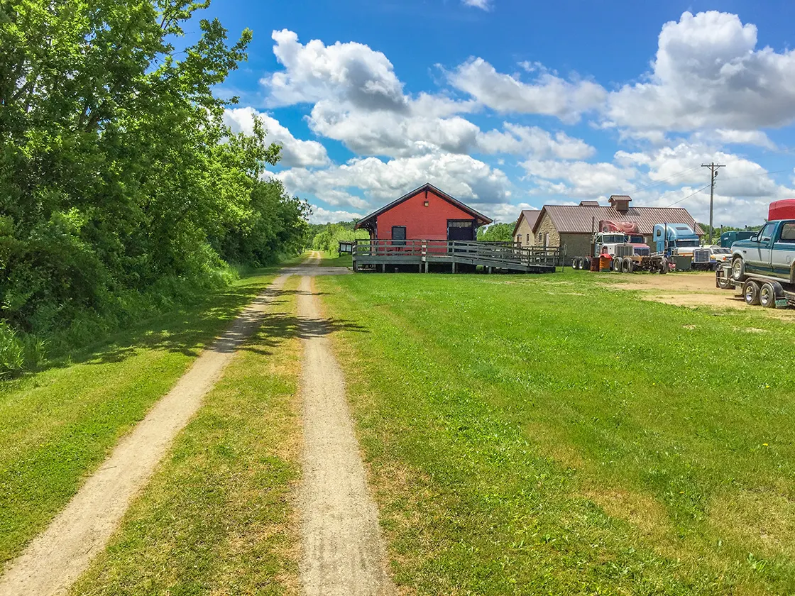
The Monticello Segment of the Ice Age National Scenic Trail is 6.6 miles of bike path paved with crushed stone in south central Wisconsin. It connects the Brooklyn Wildlife Segment with the Albany Segment via the Badger State Trail. This popular section of bike trail features 1/4 mile of underground hiking as bikers and hikers walk through the Stewart Tunnel. On either side of the tunnel the trail route is shaded by tall deciduous trees. The route is severely straight and flat - cutting across agricultural land between Exeter and Monticello. A few miles off the trail in Monticello there are several eateries, parks, and a public flower garden.
{tocify} $title={Table of Contents}
$ads={1}
advertisement
 |
| Ice Age Trail Monticello Segment - Badger State Trail |
The Ice Age Trail takes a turn to the dark side for 1260 feet on the Monticello Segment. The novelty of biking and hiking deep beneath ground in the pitch-black Stewart Tunnel is what draws bikers and hikers to this sparsely populated area of southern Wisconsin. Be sure to have a strong flashlight if you plan to survey the cave-like interior of the tunnel; it is a miserable damp and disorienting experience without one.
The Tunnel was completed in 1887, having been dug by hand, steam shovel, and dynamited into existence. The general contractor, James Stewart, charged with constructing the tunnel was killed in a horse and buggy accident nearby and the tunnel is named in his honor.
From the tunnel it is downhill all the way to Monticello. Shortly before entering Monticello the trail passes over the picturesque Little Sugar River. At Monticello there are vault toilets, a good parking lot, and water station. If you head west from the trail into town, you'll find a nice park with a public flower garden and a few good restaurants. Mysteriously, there are no campgrounds, hotels, or inns on this section of trail. There are plenty of opportunities in Monticello between the Sugar River and Badger State Trails to establish a self-registration county campground with 10 sites - just a suggestion - hopefully Green County is listening.
At Monticello, through hikers need to swap trails from the Badger State Trail to the Sugar River Tail. Signage isn't that great, so be careful to check that you are on the Sugar River Trail if you want to head towards Albany. The Badger State Trail continues on down to into Illinois.
 |
| Ice Age Trail Monticello Segment - Badger State Trail |
Overview: Ice Age National Scenic Trail - Monticello Segment
COUNTYGREEN COUNTY
COMMUNITIES
EXETER, MONTICELLO
TOTAL MILES
7.3-MILE POINT-TO-POINT
DIFFICULTY
VERY EASY
LOWEST ELEVATION
820 AMSL
HIGHEST ELEVATION
1060 AMSL
TOTAL ELEVATION GAIN
680 FT
TOTAL ELEVATION LOST
-630 FT
POINTS OF INTEREST
Badger State Trail, Stewart Tunnel, Little Sugar River
NEXT IAT SEGMENT EASTBOUND
ALBANY SEGMENT (Sugar River State Trail)
NEXT IAT SEGMENT WESTBOUND
BROOKLYN WILDLIFE SEGMENT
Directions and Trail Map
Click Map Image to load the full interactive map.
If viewing on a mobile device, open the trail map above to load into Google Maps App by touching the expand rectangle in the upper right corner
Address for your GPS: 300 Pratt Rd Monticello, WI 53570
| coordinates: 42.742253, -89.579314 |
| From Milwaukee | 2 Hours |
| From Madison | 45 Minutes |
| From Green Bay | 3 Hours |
| From Wausau | 3 Hours |
| From Minneapolis | 4.5 Hours |
| From Chicago | 2.5 Hours |
Photos
 |
| Stewart Tunnel on the Badger State Trail / Ice Age Trail Monticello Segment |
 |
| Stewart Tunnel on the Badger State Trail / Ice Age Trail Monticello Segment |
 |
| Stewart Tunnel on the Badger State Trail / Ice Age Trail Monticello Segment |
 |
| Stewart Tunnel on the Badger State Trail / Ice Age Trail Monticello Segment |
 |
| Ice Age Trail Monticello Segment - Badger State Trail |
 |
| Crossover from Sugar River State Trail to Badger State Trail |
 |
| Ice Age Trail Monticello Segment - Badger State Trail |
 |
| Ice Age Trail Monticello Segment - Badger State Trail |
 |
| Ice Age Trail Monticello Segment - Badger State Trail |

