 |
| The Groves Pertzborn Segment of the Ice Age National Scenic Trail |
{tocify} $title={Table of Contents}
$ads={1}
advertisement
 |
| The Groves Pertzborn Segment of the Ice Age National Scenic Trail |
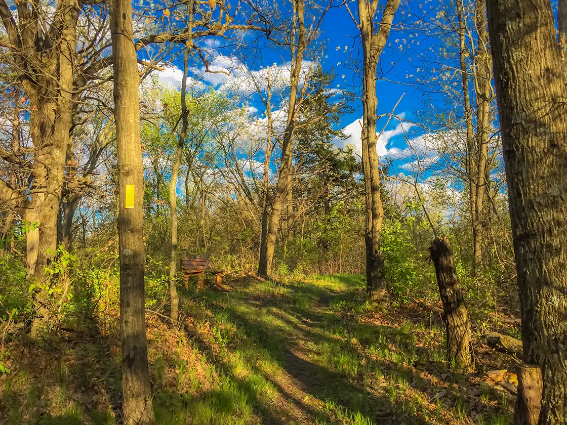
Fern Glen (Formerly Groves-Pertzborn) is an often-overlooked segment. Its short 1.5 miles are overshadowed by nearby Gibraltar Rock and Devil's Lake State Park. While on its own it might not be worth a long drive, it is easily combined with other IAT segments in Lodi - and for hikers who live nearby - this is one of the finest after-work hikes to be had. An out-and-back can be accomplished in 1 hour. And it is a quiet, serene, and impeccably maintained slice of the IAT.
It is a good workout as well. As an out-and-back you will get in two good climbs that will certainly get your heart pumping. This would make an excellent mid-week trail running course.
There's not much more to say, this is just a good section of woodland trail in southern Columbia County, and it is an essential footpath connection to the town of Lodi.
Overview: Ice Age National Scenic Trail - Fern Glen Segment
COUNTYCOLUMBIA COUNTY
COMMUNITIES
LODI
TOTAL MILES
1.3-MILE POINT-TO-POINT
DIFFICULTY
MODERATE
LOWEST ELEVATION
830 AMSL
HIGHEST ELEVATION
1014 AMSL
TOTAL ELEVATION GAIN
410 FT
TOTAL ELEVATION LOST
-470 FT
NEXT IAT SEGMENT EASTBOUND
LODI SEGMENT
NEXT IAT SEGMENT WESTBOUND
GIBRALTAR SEGMENT
Directions and Trail Map
DOWNLOAD PRINTABLE PDF USGS TOPOGRAPHIC MAPLODI QUADRANGLE
Click Map Image to load the full interactive map.
If viewing on a mobile device, open the trail map above to load into Google Maps App by touching the expand rectangle in the upper right corner
Address for your GPS: W11333 CR-J, Lodi, WI 53555
| coordinates: 43.328987, -89.579534 |
| From Milwaukee | 1.5 Hours |
| From Madison | 30 Minutes |
| From Green Bay | 2.75 Hours |
| From Wausau | 2 Hours |
| From Minneapolis | 4 Hours |
| From Chicago | 3 Hour |
Photos
 |
| The Groves Pertzborn Segment of the Ice Age National Scenic Trail |
 |
| The Groves Pertzborn Segment of the Ice Age National Scenic Trail |
 |
| The Groves Pertzborn Segment of the Ice Age National Scenic Trail |
 |
| The Groves Pertzborn Segment of the Ice Age National Scenic Trail |
 |
| Susie's Rock is an erratic dedicated to the Groves Family and Aunt Susie |
 |
| The Groves Pertzborn Segment of the Ice Age National Scenic Trail |
 |
| The Groves Pertzborn Segment of the Ice Age National Scenic Trail |
 |
| The Groves Pertzborn Segment of the Ice Age National Scenic Trail |

