|
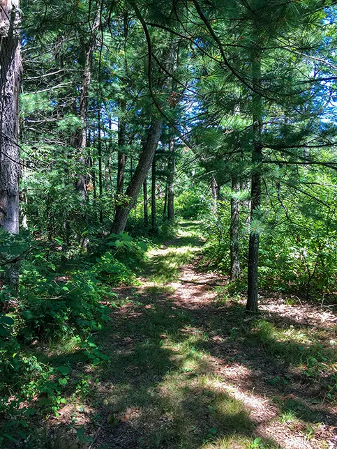
The northernmost segment of the Ice Age Trail in Waushara County is the Deerfield Segment. Its 3.5 miles crosses through private hunting land. A wide mowed grass footpath winds through restored prairies and pine plantations. There are numerous intersections with ATV and snowmobile trails. A former stagecoach road crosses the trail as well. To the north in Portage County is the Emmons Creek Segment and to the southwest is the Bohn Lake Segment.
{tocify} $title={Table of Contents}
$ads={1}
advertisement

|
| Ice Age Trail Deerfield Segment |
I felt particularly lonely on the Deerfield Segment. Perhaps it was the dozen of empty tree stands within throwing distance of the trail, or maybe the absolute quietness of the surroundings - barely a bird chirped as I completed the 7 miles out and back. Along the trail was scat evidence of a black bear. The presence of a large predator can inspire an eerie silence in the woods.
There is not much in the way of memorable scenery or landmarks along this section. There is a deep cut near Beechnut Drive into a kettle where a scum filled, and mosquito riven pond can be found.
Nearby, the trail crosses a retired stagecoach line between Wautoma and Plainfield.
The railroads had come late to Waushara and Adams counties, and all trade and travel was conducted by stagecoach up until the late 1800's. Being late to the railroad economy, Waushara, Adams, and Portage counties were slow to grow, allowing for agricultural land to be available when the massive migrations of German Americans entered Wisconsin. The Germanic heritage of the area is still strong today and includes settlements of Amish who continue the tradition of travel by horse and carriage.
The terrain along the Deerfield Segment is evidence of late glaciation in Wisconsin - the remnants of the Green Bay Lobe. Mild hills cross through hardwood forest, mature pine plantations, and along the outskirts of restored prairies.

|
| Ice Age Trail Deerfield Segment |
Overview: Ice Age National Scenic Trail - Deerfield Segment
COUNTYWAUSHARA COUNTY
COMMUNITIES
HANCOCK, DEERFIELD
TOTAL MILES
3.5-MILE POINT-TO-POINT
DIFFICULTY
EASY
LOWEST ELEVATION
1126 AMSL
HIGHEST ELEVATION
1291 AMSL
TOTAL ELEVATION GAIN
894 FT
TOTAL ELEVATION LOST
-877 FT
NEXT IAT SEGMENT EASTBOUND
BOHN LAKE SEGMENT
NEXT IAT SEGMENT WESTBOUND
EMMONS CREEK SEGMENT
POINTS OF INTEREST
Old Stagecoach Line
Directions and Trail Map
DOWNLOAD PRINTABLE PDF USGS TOPOGRAPHIC MAPPLAINFIELD QUADRANGLE
WAUTOMA NE QUADRANGLE
Click Map Image to load the full interactive map.
Address for your GPS: W10693 Beechnut Dr, Hancock, WI 54943
| coordinates:44.134065, -89.413476 |
| From Milwaukee | 2.5 Hours |
| From Madison | 1.5 Hours |
| From Green Bay | 1.5 Hours |
| From Wausau | 1 Hours |
| From Minneapolis | 3.5 Hours |
| From Chicago | 3.5 Hours |
Photos

|
| Ice Age Trail Deerfield Segment |

|
| Ice Age Trail Deerfield Segment |

|
| Ice Age Trail Deerfield Segment |

|
| Ice Age Trail Deerfield Segment |

