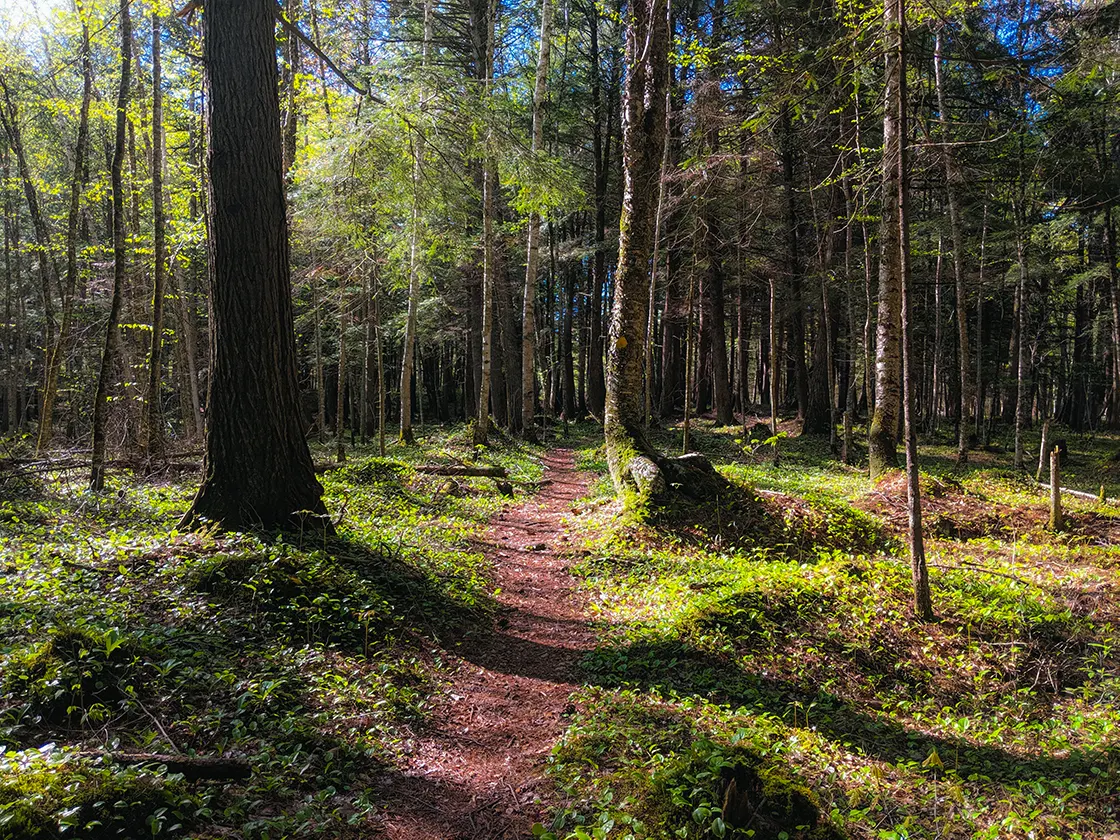
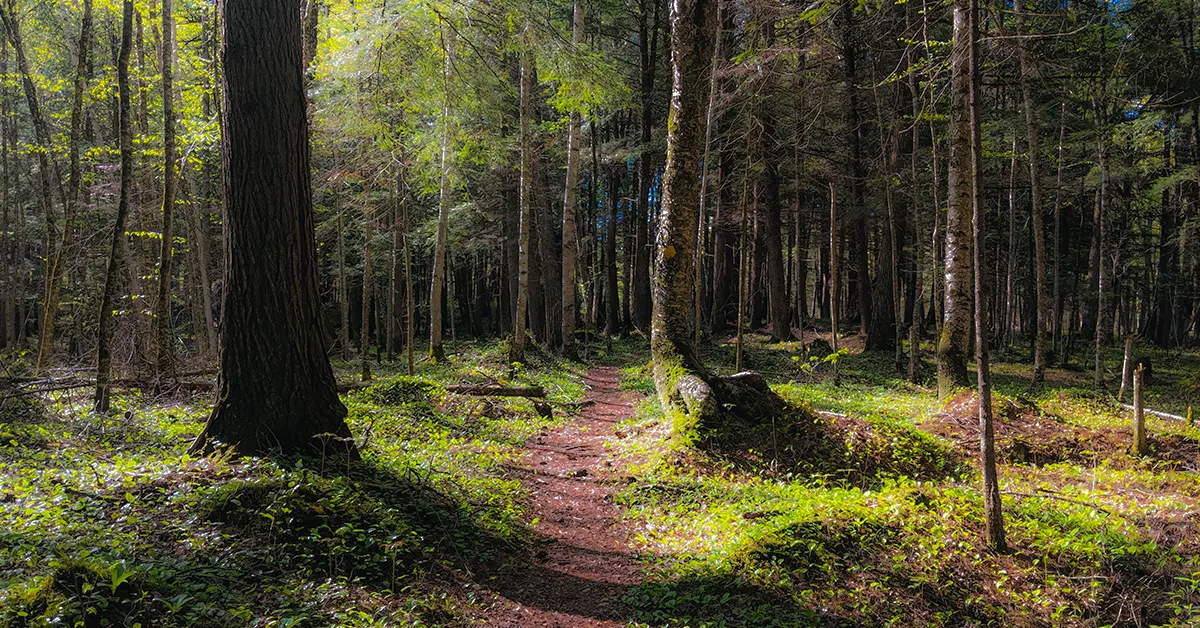
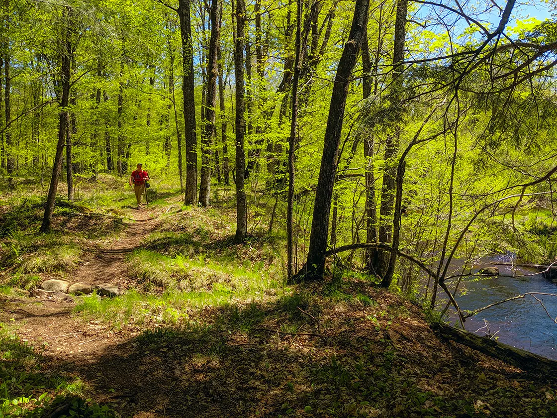
The Jerry Lake Segment of the Ice Age Trail is an extraordinary and beautiful segment, but it has its challenges which I'll make very clear in the post below. It is a 15.2-mile point-point trail through the wilderness of the Chequamegon National Forest. The segment does not cross a paved road along its route. It begins at Jerry Lake on Forest Road 571 where the Lake Eleven Segment finishes and proceeds through deep woods, crossing streams and rivers along the way till it finishes at County Road E at the trailhead for the Mondeaux Esker Segment.
{tocify} $title={Table of Contents}
$ads={1}
advertisement

|
| A kettle lake on the Jerry Lake Segment by campsite TA15 |
I backpacked the Jerry Lake Segment along with 3 members of my extended family over Memorial Day weekend in 2019. We tackled the entire length of the Lake Eleven Segment and Jerry Lake Segment and about half of the Mondeaux Esker Segment over three days.
We spent our first night on the trail at a rustic campsite on the south end of Lake Eleven and then continued about 5-miles before reaching Jerry Lake where we stopped for a long break and lunch. I found the end of the Lake Eleven Segment as it approaches Jerry Lake to be a delightful walk with the kind of north woods scenery I was expecting from this trip. We lounged around on a twisted footbridge over the South Fork of the Yellow River where we filtered water. If you are considering walking part of the Lake Eleven Segment from the Jerry Lake trailhead and parking lot I would strongly recommend it.
After passing Jerry Lake the high hills begin to calm down into low rollers. The deciduous forest Between Jerry Lake and Fire Road 572 is a relatively easy walk through vegetation and terrain that reminds me of Door County. Then the area between FR572 and the next crossing of the South Fork of the Yellow River featured what I thought was the most beautiful terrain of the 3-day hike. It became a mix of older growth pines, deciduous, and birch trees and the trail began to pick up elevation, rolling over mounds as it climbed onward and upward. A final long and steep climb is rewarded with a bench and trail registry at a panoramic overlook where you can get a long look above the trees of the Chequamegon Forest.
The trail then descends towards the South Fork of the Yellow River where there is a long heavy timber bridge. We were overjoyed to stop here to filter more water, the heat of the afternoon was taking its toll on our water supplies. Shortly after crossing the bridge we came to the Yellow River Rustic Campsite. This is a particularly beautiful site, and we wished we were stopping there for the night, but our mission was Sailor Creek or beyond. In retrospect, due to the length and challenging nature of the Jerry Lake Segment, I would have split our trip down further into a 3-night/4-day trip as exhaustion was starting to erode our enjoyment of the experience as we bypassed the picture perfect campsite at Yellow River.
Part of the challenge that we found on the Jerry Lake Segment may be due to the extraordinary rainfall in the spring of 2019 which led to record-breaking flooding across the Midwest. I can't say that this tail is always in this shape, but it does feature a lot of mud. There are deep and wide swampy areas that are soft enough to lose a shoe in, and this causes hikers to have to meander around the woods hopping from dry spot to dry spot. The result is both the evolution of confusing cattle trails as well as extra steps which over the length of this trail add up to miles-plus. In truth, a complete hike on the Jerry Lake Segment will probably add up to 17-miles, not the official count of 15.2-miles, so please consider this when planning your daily mileage. You might think that I'm exaggerating this; I am not.
We made the Sailor Creek Campsite long after we had planned to arrive. The campsite is directly adjacent to the trail after crossing the Sailor Creek Bridge. Sailor Creek is a narrow and small creek, and offers little to no scenic value, but does offer refreshing cool drinking water. The campsite sits surrounded by a bog in a low section of the trail route and is infested with gnats, the first bug problem we encountered on this hike. But, as soon we got a fire going and reapplied repellent, the onslaught retreated.
The next day we woke to our last day of hiking and we were faced with a 12-15mile hike back to our base campsite at Spearhead Point. We opted to stash our large packs which we could retrieve by car later. We were then free to attack the end of the Jerry Lake Segment at a more aggressive pace. We tramped fast through the Lost Lake Esker State Natural Area which is an extremely beautiful section of this trail. From there the trail route narrowed to barely-single-track as it became closed in by thick vegetation and frequent dips and rollers. I was loving this portion of the trail. Mud traps continued to be an issue.
As we approached the Chippewa Lobe Loop bifurcation we searched for campsites TA25 and TA23 and were unable to find them ... they may no longer exist. We passed the White Birch Trail and were then ready for some easy walking as the IAT parallels the Chippewa Lobe Loop heading toward Mondeaux Ave. But, the trailbed here was completely underwater causing a long bit of bushwacking. We saw that campsites at TA15 were occupied, and we caught the IAT route turn-off as it leaves the wider Chippewa Lobe Loop Trail behind. We ended up ejected from the dense forest onto Mondeaux Avenue where we crossed the Yellow River again on a road bridge. The last small section of the Jerry Lake Segment between forest road 102 and County E was a complete wash-out and swamp that was nearly impassable. That last mile took in excess of an hour to negotiate.
We were very pleased to be finished with the Jerry Lake Segment, leaving with soaked and muddy shoes. But, looking back, this is one of the most rustic portions of the Ice Age Trail and also one of the most beautiful. I would definitely do it again, though I would be prepared for a much slower trek over more difficult terrain. I would advise that it is unwise to consider more than 8-miles per day of backpacking on the Jerry Lake Segment for both beginners and intermediate hikers.

|
| The South Fork of the Yellow River on the Lake Eleven Segment just east of the Jerry Lake Segment trailhead. |
Ice Age National Scenic Trail - Jerry Lake Segment
COUNTY
TAYLOR
COMMUNITIES
PERKINSTOWN, MEDFORD
TOTAL MILES
15.2-MILE POINT-TO-POINT
DIFFICULTY
DIFFICULT
LOWEST ELEVATION
1344 AMSL
HIGHEST ELEVATION
1456 AMSL
TOTAL ELEVATION GAIN
2472 FT
NEXT IAT SEGMENT EASTBOUND
MONEAUX ESKER SEGMENT
NEXT IAT SEGMENT WESTBOUND
LAKE ELEVEN SEGMENT
Directions and Trail Map
Click Map Image to load the full interactive map.
If viewing on a mobile device, open the trail map above to load into Google Maps App by touching the expand rectangle in the upper right corner.
Address for your GPS: Sailor Creek Rd. Southern Trail Access, Sailor Creek Rd, Medford, WI 54451
| coordinates: 45.217849, -90.587965 |
| From Milwaukee | 4 Hours |
| From Madison | 3 Hours |
| From Green Bay | 2.5 Hours |
| From Wausau | 1 Hour |
| From Minneapolis | 2.5 Hours |
| From Chicago | 5.5 Hours |
Photos

|
| The Mud Pits on the Chippewa Lobe Loop |

|
| Crossing the North Fork of the Yellow River |

|
| Trail along the South Fork of the Yellow River |

|
| The Jerry Lake Segment of the Ice Age Trail, can you see the trail? |

|
| Sailor Creek Campsite on the Jerry Lake Segment of the Ice Age Trail |

|
| Lost Lake Esker |

|
| Jerry Lake Segment of the Ice Age Trail |

|
| South Fork of the Yellow River |

|
| South Fork of the Yellow River |

|
| Lost Lake Esker State Natural Area |

|
| Jerry Lake Segment of the Ice Age Trail |

|
| Backpacking the Ice Age Trail Jerry Lake Segment |

|
| South Fork of the Yellow River |

|
| Lost Lake Esker State Natural Area |

|
| Porcupine in a tree on the Jerry Lake Segment of the Ice Age Trail |


