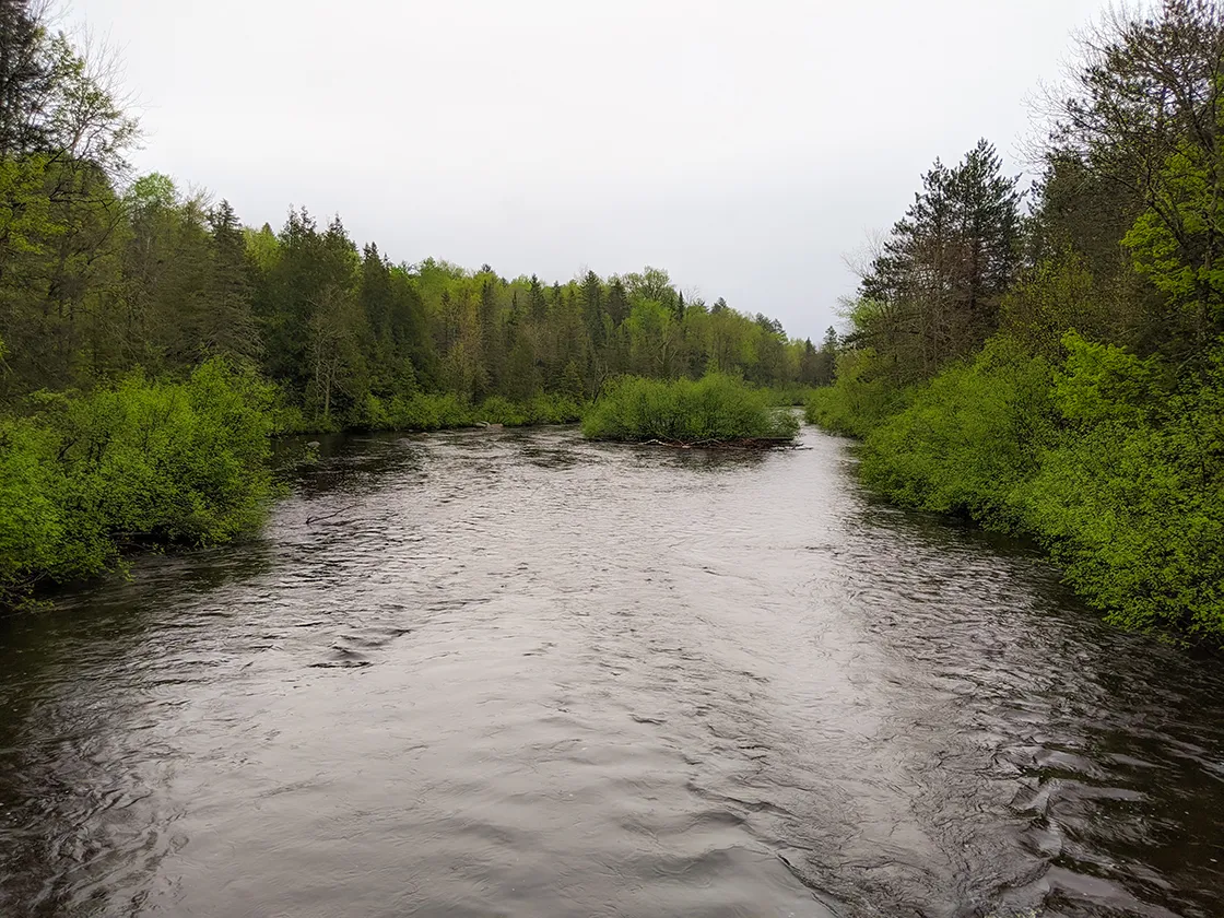
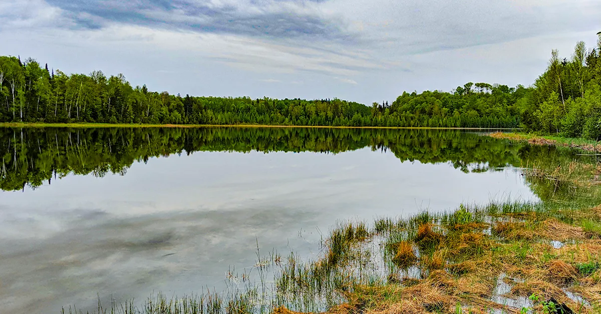
The Lauterman Recreation Area is a substantial hiking and camping area within the Chequamegon-Nicolet National Forest off Highway 70 near Florence Wisconsin. This area features a trail network that can be used for cross country skiing, hiking, backpacking, and mountain biking. There is an array of camping options within the recreation area and along the trails. There are drive-in campgrounds at Chipmunk Rapids and Lost Lake and there are 5 wilderness hike-in campsites along the trail around Lauterman Lake, and an additional 5 wilderness hike-in campsites on the trail around Perch Lake. There is also a trail shelter on a hill overlooking Lake Lauterman with plenty of room around it for tents. Also, there is an former youth campground with vintage cabins for rent through the Forest Service on Lost Lake. Groups can rent all of the cabins and kitchens to hold a large group event, or individuals can rent individual cabins and facilities.
The hiking route is on a network of hiking and skiing trails. I started this trail at Chipmunk Rapids and hiked along the 3-mile Chipmunk Trail to reach the 2.8-mile Lake Lauterman Loop and returned for a 9-mile lollipop hike. If you have more time to stay in the area you can also hike the 5-mile ridge trail loop or 2-mile Perch Lake loop. The Assessors Trail is a short trail that connects between trails near the Lost Lake Campground. Taken together, there are enough interconnected trails to put together a nice overnight backpacking trip by using the wilderness sites along the trails at Lauterman Lake and Perch Lake. If that isn’t enough, the property is adjacent to the Whisker Lake Federal Wilderness. So, backpackers interested in a longer multi-day adventure can continue 3-miles up Forest Road 2150 to access trails into Whisker Lake.
{tocify} $title={Table of Contents}
$ads={1}
advertisement
 |
| Campsite #4 at Lake Lauterman on the Lauterman Trail |
Ski Trails make for notoriously poor hiking trails. You would think otherwise. But ski trails tend to cut lines across hilly areas instead of along them. A good hiking trail follows the contours of the land on a narrow single track. A ski trail is wide, allowing for tall grass to grow on it and avoids following the shape of the hill to avoid sloped conditions where one ski would end up downhill of the other. The Lauterman National Recreation Area Trails are ski trails, and it was a pain to hike them. I hiked up a hill and then down the steep slope on the other side just to hike back up the next steep hill. This pattern completely sapped my energy.
I had intended to backpack this trail, beginning at Chipmunk Rapids and following the Chipmunk Trail to the Lauterman Lake Loop where there are wilderness campsites. But everything seemed to be against me. It was cold and wet from days of rain and raining fairly hard when I reached Chipmunk Rapids. The National Forest Campgrounds at Chipmunk Rapids and Lost Lake were closed for the COVID-19 pandemic. On top of all that, the bugs and mosquitos were in full hatch.
My experience could have been better had I known the area better. Had the campgrounds been open I would have set up and stayed the rainy night at Lost Lake or Chipmunk Rapids, and then set out on what turned out to be a beautiful sunny day the next day. That surely would have put me in a better mood, and maybe I wouldn’t have minded the hilly trails as much. The other option I had to make this better would have been to drive in on a forest road which can be used to access a parking lot that is very close to Campsite #3 at Lake Lauterman, and then I could have waited out the rain at Site #3 before hiking. Unfortunately, I didn’t know there was parking so close to Lake Lauterman.
Another fault of my trip is that, not knowing the trails, I followed a snow shoe trail by accident on the East side of Lake Lauterman. In all of my days of hiking I have never been unable to follow a trail to its end. But this snow shoe trail became completely unpassable as it threaded through increasingly thick vegetation in swamplands. After a valiant effort to push through I had to turn back and this misadventure cost me nearly two hours and a lot of energy as I tried to pick my way through the vegetation which was jungle-thick. Hear me now … Avoid the snow shoe trails in summer.
All of these conditions worked against me. I was at the end of a weeklong exploration of the Nicolet Forest and tired. But, I’d like to give this area another shot. I think it could be a wonderful camping and backpacking area in fair weather when the campgrounds are open.
If you are looking for some rustic free-camping options in the national forest, the sites at Lake Lauterman look to be ideal, and I have heard that the sites at Perch Lake are excellent as well. I’m guessing that the Ridge Trail between Chipmunk Rapids and Lost Lake is more hiker friendly as well, so consider that there may be good hiking in the area. Also, if you have mountain bikes, I would guess that this hilly terrain would be fun for biking.
I wish I could give my certified stamp of approval to the Lauterman Recreation Area as a great backpacking site, but I didn't have a great trip, which might not have as much to do with the quality of the area or the state of the trails, and more to do with conditions outside of my control or the normal state of things.
One of the things I’m looking forward to on my future return trip is renting one of the cabins on the other side of Lost Lake. These look like a real novel cabin camping adventure.
 |
| Bridge over Lauterman Creek on the Lauterman Loop Trail |
Lauterman National Recreation Trail
COUNTY
LONG LAKE, FLORENCE
COMMUNITIES
FLORENCE
TOTAL MILES
9-MILE LOLLIPOP
DIFFICULTY
MODERATE
POINTS OF INTEREST
Lauterman Lake, Lauterman Lake State Natural Area, Chequamegon-Nicolet National Forest, Pine River, Lauterman Creek
CAMPING
lost Lake Campground, Chipmunk Rapids Campground, 5 wilderness sites on Lake Lauterman, 5 wilderness sites on Perch Lake, Cabin Rentals on Lost Lake
Directions and Trail Map
Click Map Image to load the full interactive map.
If viewing on a mobile device, open the trail map above to load into Google Maps App by touching the expand rectangle in the upper right corner.
Address for your GPS: 4766 Lost Lake Rd Long Lake, WI 54542
| coordinates: 45.892883, -88.557622 |
| From Milwaukee | 4 Hours |
| From Madison | 4.5 Hours |
| From Green Bay | 2.5 Hours |
| From Wausau | 2 Hours |
| From Minneapolis | 5 Hours |
| From Chicago | 5.5 Hours |
Photos
 |
| The trailhead for the Lauterman Trail is at a parking lot near the Pine River and Chipmunk Rapids |
 |
| The maps along the trail are better than the maps found online |
 |
| Pine River at Chipmunk Rapids Campground |
 |
| Pine River at Chipmunk Rapids Campground |
 |
| Artesian Well at Chipmunk Rapids Campground Entrance |
 |
| Along the Chipmunk Trail |
 | |
|

|
 | |
|
 | |
|
 |
| Look down at those ferns, that is the trail, See the trail marker straight ahead in the distance? |
 |
| Lauterman Creek on the Lauterman Trail |
 |
| Adirondack Shelter on the Lauterman Loop |
 |
| Some cool messages from the nordic skiers in the shelter |
 |
| Typical latrine included at each wilderness campsite at Lauterman Lake and Perch Lake |
 |
| Lauterman Creek on the Lauterman Trail |
 |
| Campstie #3 on Lake Lauterman |
 |
| Lake Lauterman from Campsite #3 |
 | |
|
Links
Lauterman National Recreational AreaChipmunk Rapids Campground
Lost Lake Campground
Whisker Lake Federal Wilderness


