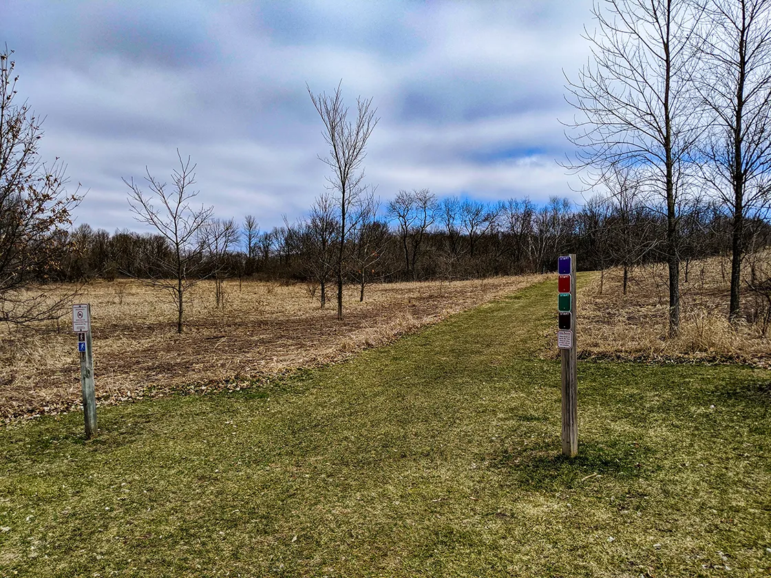
The New Fane Trails are a set of hiking, mountain biking, and ski trails in the Northern Kettle Moraine State Forest at New Fane. This trail system connects directly to the Ice Age Trail – Milwaukee River Segment. All of the hiking trails are easy loops that course through the rolling hills of the Kettle Moraine on wide two-track trails. Amenities include a parking lot with restrooms, water, and a picnic area.
{tocify} $title={Table of Contents}
$ads={1}
advertisement
The New Fane Trails are an old favorite of mine. I grew up nearby in Ozaukee County and our family often visited here for quick nature walks. I also rode the mountain bike trails with friends.
The hiking trail network is a series of loops that cover about 5-miles in total. The loops are color coded: Brown, Green, Red, and Blue. They each start and end from the main lot. The brown loop is the easiest and shortest ½-mile loop. The Green Route goes a bit further and cuts through deep hardwoods and includes a few hills. The Red and Blue Loops run concurrently except for a bifurcation at the north end that adds a mile to the length of the Blue Loop. There are a few large hills on the Blue/Red Loop.
A direct connection from the Ice Age Trail cuts across where the Green Loop joins the Red and Blue Loop. This provides a chance for IAT hikers to break off and reach the water and restrooms at New Fane.
New Fane Trails System
COUNTY
FOND DU LAC
COMMUNITIES
NEW FANE
TOTAL MILES
5-MILE NETWORK
DIFFICULTY
EASY
Directions and Trail Map
Click Map Image to load the full interactive map.
If viewing on a mobile device, open the trail map above to load into Google Maps App by touching the expand rectangle in the upper right corner.
Address for your GPS: W431 County Line Dr, Kewaskum, WI 53040
| coordinates: 43.543673627742194, -88.17533816013511 |
| From Milwaukee | 45 Minutes |
| From Madison | 1.5 Hours |
| From Green Bay | 1.5 Hours |
| From Wausau | 2.5 Hours |
| From Minneapolis | 5 Hours |
| From Chicago | 2 Hours |


