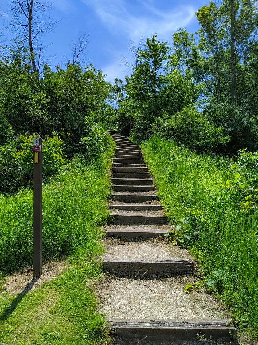
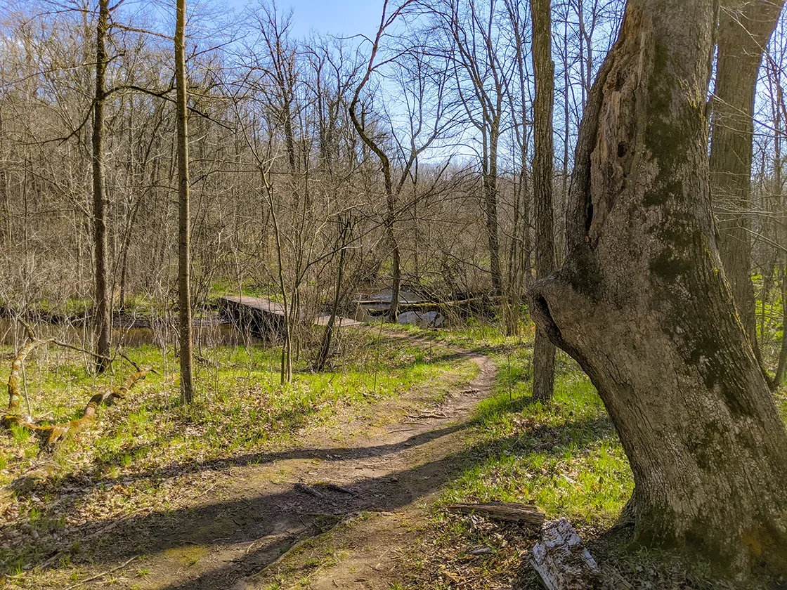
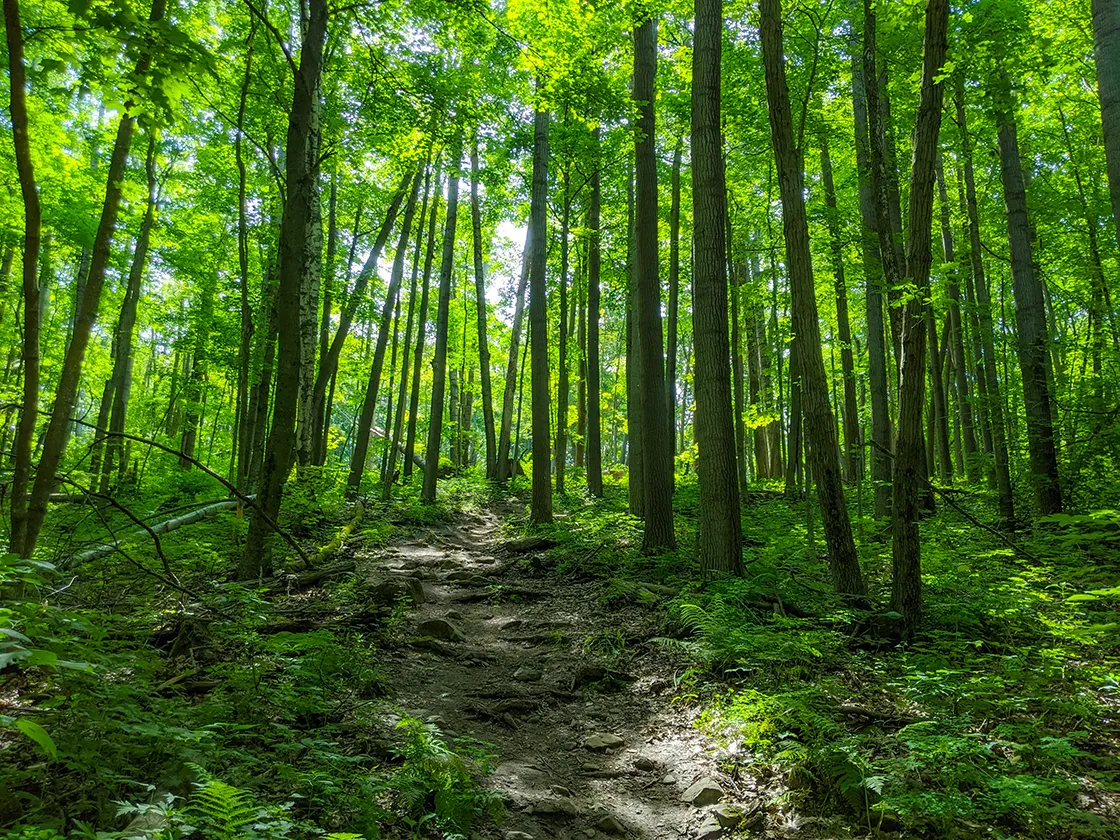
The Parnell Segment of the Ice Age National Trail is a 13.9-mile moderate-to-difficult single track footpath in the Northern Kettle Moraine State Forest. It connects directly to the Greenbush Segment heading eastbound and the Milwaukee River Segment heading westbound on the IAT.
This trail is a popular with day hikers and backpackers. There are a number of parking lots with direct access to the trail at major scenic destinations such as Mauthe Lake , Crooked Lake, Butler Lake, and Parnell Tower. There are also two backpacker shelters and two campgrounds along the trail. All sites and shelters must be reserved in advance. You’ll find everything you need along the trail such as parking, restrooms, and drinking water.
{tocify} $title={Table of Contents}
$ads={1}
advertisement
2020 will be remembered as the year of the great Coronavirus Pandemic. There were many hardships which we all had to endure; social distancing, government mandated quarantines, closed restaurants and bars, wearing a facemask in public places, not to mention enduring the ravages of COVID-19 itself.
Yet with all the disruption to our normal lives, there were some silver linings to be found. Before the pandemic we had become comfortable with the status-quo and to some extent it freed us from the normalcy and rigid scheduling of our daily lives. With the postponement of professional sporting events and festivals, and the cancellation of youth sports, there was suddenly free time to go out and explore the great outdoors. And so, there was a crush of visitors to the state parks and campgrounds.
For me, hiking on the weekends was my status quo. But I wasn’t used to sharing the trail with so many people. I split my hike of the long Parnell Segment and accomplished the southern end of the trail in early spring (during lockdown), and the northern end in mid-summer. On both occasions the trail was flooded with families and friends out hiking. It was magnificent to see so many people enjoying the hills of the Kettle Moraine. Though I suspect those steep hills came as a surprise to many.
The Parnell Segment is very hilly. You don’t get much chance to catch your breath as by the time you reach the bottom of one hill you are immediately climbing the next one. Beginning from Mauthe Lake the trail is a roller coaster for the first few miles. The trail levels a bit before reaching Crooked Lake where the next bout of dips and climbs begin. At Butler Lake there is no physical relief from the high relief topography. This trail will be popular with those looking for athletic challenge.
There are two loop trails which join the Parnell Segment, one at Butler Lake and another at Parnell Tower. These are both worthwhile hikes in their own right. Parnell Tower was closed for the pandemic when I arrived. But I used the lot there to start my second hike on the Parnell Segment. I incorporated 2/3’s of the Parnell Loop and then found my way a short distance on a horse trail to cut up nearly to Highway 67 and then turned back south on the IAT and took that to Butler Lake where I did the Butler Lake Loop and hiked back up the IAT to return to Parnell Tower.
I can’t say that the scenery on any part of the Parnell Segment is particularly grand, but the trails are well marked and easy to follow with stairs on hills and bridges over streams. I also made use of water and restrooms at the major access points which include Mauthe Lake, Crooked Lake, Butler Lake, and Parnell Tower.
This length of the IAT is especially popular for long distance hiking – you are sure to pass some backpackers as you hike this segment. But, since it is so popular, you will find it difficult to reserve campsites or shelters. Be prepared to reserve these 11-months in advance of your trip if you plan to backpack the Northern Kettle Moraine SF.

|
|
Shelter #4 beside the Parnell Segment of the Ice Age Trail |
Ice Age Trail Parnell Segment
COUNTYFOND DU LAC
COMMUNITIES
PARNELL, KEWASKUM
TOTAL MILES
13.9-MILE POINT-TO-POINT
DIFFICULTY
DIFFICULT
LOWEST ELEVATION
1000 AMSL
HIGHEST ELEVATION
1300 AMSL
TOTAL ELEVATION GAIN
1500 FT
NEXT IAT SEGMENT EASTBOUND
GREENBUSH SEGMENT
NEXT IAT SEGMENT WESTBOUND
MILWAUKEE RIVER SEGMENT
CAMPING
Shelter #3, Shelter #4, Mauthe Lake State Park, Crooked Lake Campground
Directions and Trail Map
Click Map Image to load the full interactive map.
If viewing on a mobile device, open the trail map above to load into Google Maps App by touching the expand rectangle in the upper right corner.
Address for your GPS: N1490 Co Rd GGG, Campbellsport, WI 53010
| coordinates: 43.593848300890414, -88.17601983949442 |
| From Milwaukee | 1 Hour |
| From Madison | 2 Hours |
| From Green Bay | 1.5 Hours |
| From Wausau | 2.5 Hours |
| From Minneapolis | 5 Hours |
| From Chicago | 2 Hours |
Photos

|
|
Crooked Lake |

|
|
Stairs to reach Parnell Tower |

|
|
Shelter #4 Interior |

|
| Shelter #4 Exterior |

|
|
Butler Lake Parking |

|
|
Stairs at Butler Lake |

|
|
Butler Lake from the Ice Age Trail |

|
|
Ice Age Trail Parnell Segment |


