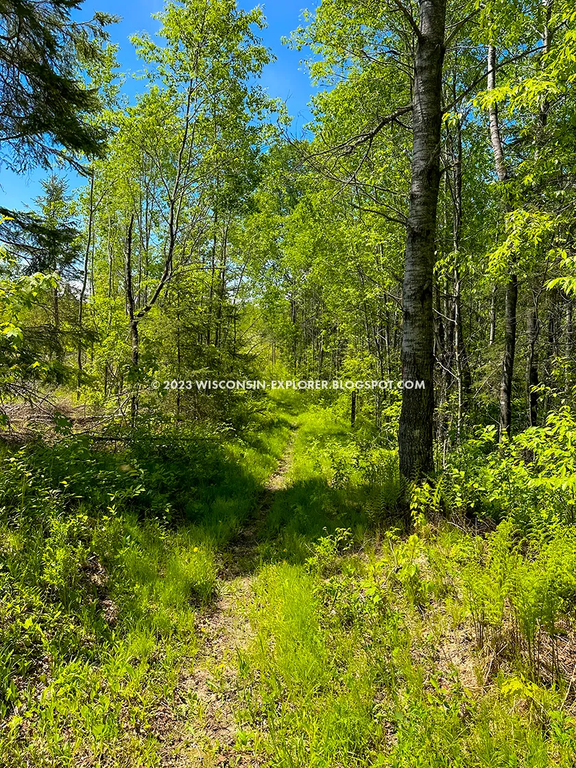
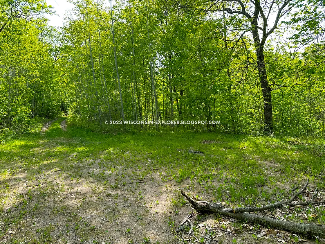
The Lumbercamp Segment of the Ice Age Trail is a 12-mile footpath between County Highway A and Highway 52 in Langlade County. It is famous among Ice Age Trail hikers as the segment with the Hillbilly Hilton – an old root cellar at the Norem Lumbercamp where backpackers used to stay overnight on the trail.
Parking lots can be found at County A, County S, and at the Kettlebowl Ski Area on Highway 52.
Primitive camping is allowed anywhere along this trail between Hill Road and Highway 52, and there are plenty of fine areas to pitch a tent, including the historic Lumbercamp and Baker Lake.
{tocify} $title={Table of Contents}
$ads={1}
advertisement

|
| Site of the historic Norem Lumber Camp that this segment is named after |
This segment is simply a wonderful hike in the woods. It's a great one to hike alongside a hiking partner. Ninety percent of this trail is on firm two-track county forest roads. It's easy to walk side-by-side and get lost in conversation. But of course, a great hiking partner will also provide a second vehicle to use for shuttling. Its twelve linear miles make it hard to imagine out-and-back hiking.
To entice someone to join me on a buggy Memorial Day weekend of shuttle hikes, I reserved a cabin at Jack Lake Campground – one of the best campgrounds in Wisconsin, Jack Lake is set square in the middle of the Summit Moraine Segment, which connects directly to the Lumbercamp Segment. Its campsites are enormous, and the campground provides every amenity. In addition to camping, Jack Lake offers four spacious camper cabins that make a weekend trip very, very easy. So, from that staging point, we addressed the Lumbercamp segment in multiple bites – first hiking from County A to County S and then S to 52 the next day.
I don't recall too much of the scenery. There were views of Peter's Marsh, but most of the trail was a shaded walk down the dirt road. The historic Norem Lumbercamp seemed to pop out of the woods before I expected to reach it. The camp is a large clearing and prairie nowadays. What is left of it is an old root cellar colloquially known as the Hillbilly Hilton.
The Hillbilly Hilton smells exactly as bad as you are imagining this little hobbit home to smell like. It is totally and completely trashed inside. At one time, it looks like it had a functioning potbelly stove that could be used to dry the place out and there used to be two platforms for unrolling sleeping bags onto. Now, it's just a junk pile inside, and I'd much prefer sleeping in a tent in the field beside it. In a pinch, I might use it as a storm shelter.
Leaving the Old Lumbercamp and heading east, the trail gets much more interesting. It descends and descends and descends into a deep valley. I recall saying out loud, "What goes down must climb out." And, well, that was the truth. For a spit, the trail actually turned into rugged single track before joining another forest road near Baker Lake. The climb from Baker Lake to Highway 52 is long and formidable. In fact, the highest point in Langlade County is near this spot. Lucky for us, we had a car with a couple of cold ginger brews waiting for us at the top.
Not killing your hiking partner with a heart attack is always a good thing. We both made it through the long climb and were able to check this segment off our list.
I returned the next day to handle the Kettlebowl Segment.

|
| Baker Lake |
Ice Age National Scenic Trail Lumber Camp Segment
COUNTY
LANGLADE
COMMUNITIES
UPHAM, DEERBROOK, PEARSON, PICKEREL, FREEMEN, SHERRY JUNCTION, HOLLISTER, LANGLADE
TOTAL MILES
12-MILES POINT-TO-POINT
DIFFICULTY
EASY
LOWEST ELEVATION
1570 AMSL
HIGHEST ELEVATION
1670 AMSL
CUMMULATIVE TOTAL ELEVATION GAIN
1975 FT
NEXT NCT SECTION WESTBOUND
IAT SUMMIT MORAINE SEGMENT
NEXT NCT SECTION EASTBOUND
IAT KETTLEBOWL SEGMENT
Directions and Trail Map
If viewing on a mobile device, open the trail map above to load into Google Maps App by touching the expand rectangle in the upper right corner.
Address for your GPS: County Rd A, Deerbrook, WI 54424
| coordinates: 45.30631528348573, -89.0521552852797 |
| From Milwaukee | 3 Hours |
| From Madison | 3 Hours |
| From Green Bay | 1.5 Hours |
| From Wausau | 1 Hour |
| From Minneapolis | 3.5 Hours |
| From Chicago | 4.5 Hours |
Photos

|
| There is a new Ice Age Trail Parking Lot off County Highway A close to the Lumbercamp trailhead. This lot may not appear in other literature. |

|
| This new lot is very large and can accommodate many vehicles |

|
| There are times when the trail is not well marked and the path was not clear |
|
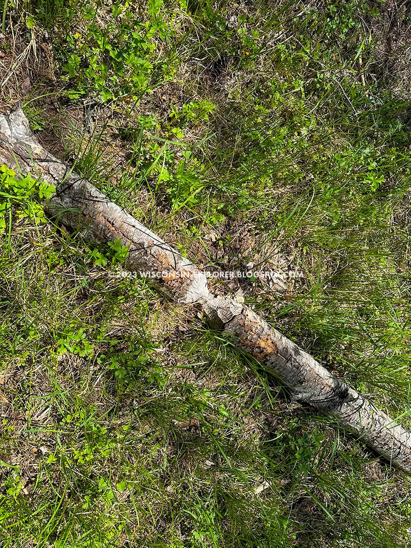
| Beavers continue the tradition of logging along this route. |

|
| A mighty beaver pond provides for some scenery in an otherwise clear cut band bleak environment |

|
| Humans continue the logging tradition on this route as well |
|
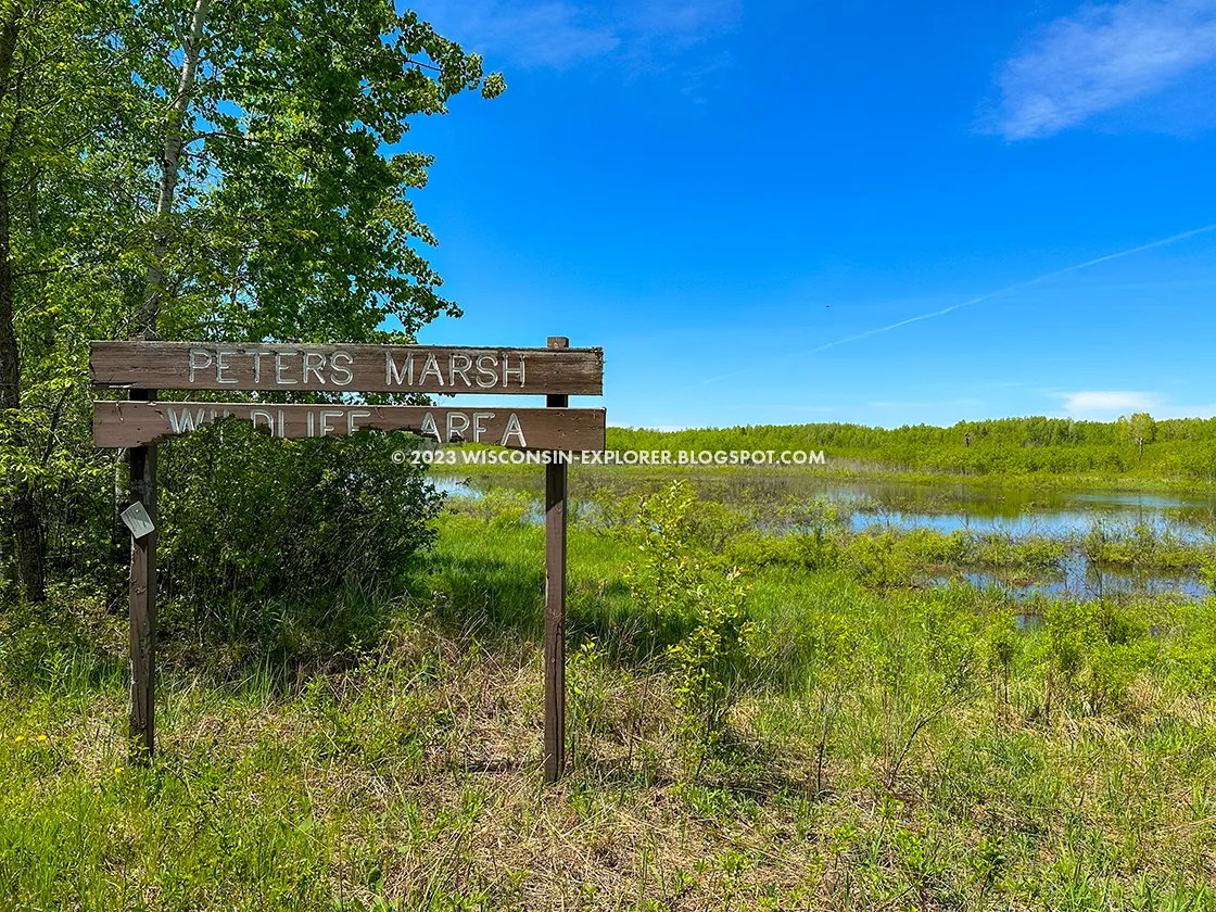
| The Ice Age Trail connects with other unmarked trails leading to Peters Marsh |
|
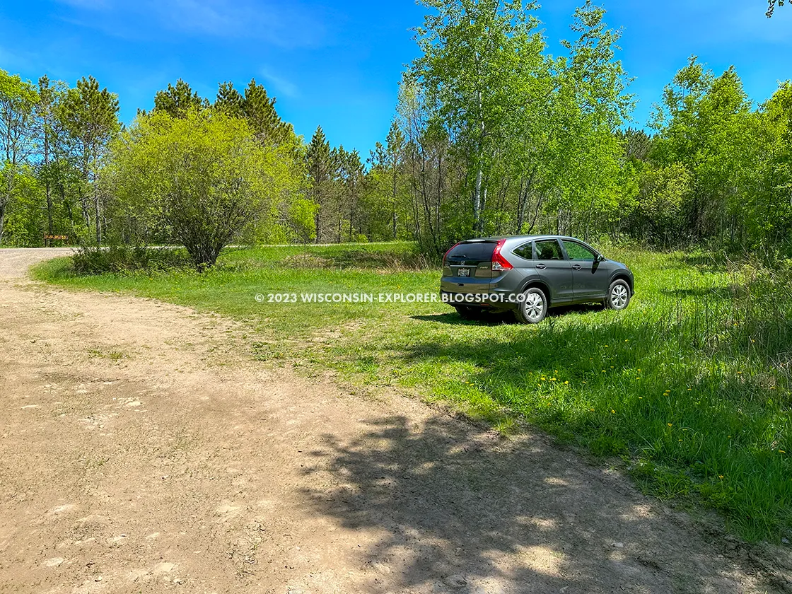
| This parking lot on County Highway S is new and might not be found on other literature. |

|
| County S Trailhead for the Lumbercamp Segment |

|
| Trillums along the Lumbercamp Segment |

|
| The Norem Lumber camp site is a grassy field, an ideal location for overnight camping for backpackers |

|
| The Norem Lumber Camp marker |

|
| Inside the Hillbilly Hilton. A cleanup is badly needed |

|
| Some nostalgia in the Hillbilly Hilton |

|
| The Hillbilly Hilton is an old root cellar that was used by the Norem Lumber Camp and has been turned into local haunt |

|
| Near the end of the segment the trail returns to single track |

|
| The single track section cuts through rugged terrain |

|
| There is an interesting boat slide at Baker Lake |

|
| The segment ends at Highway 52 after a brutal hill climb from Baker Lake |

|
| This beautiful road looks like a mountain pass. The Kettlebowl Ski Area driveway is in view. |


