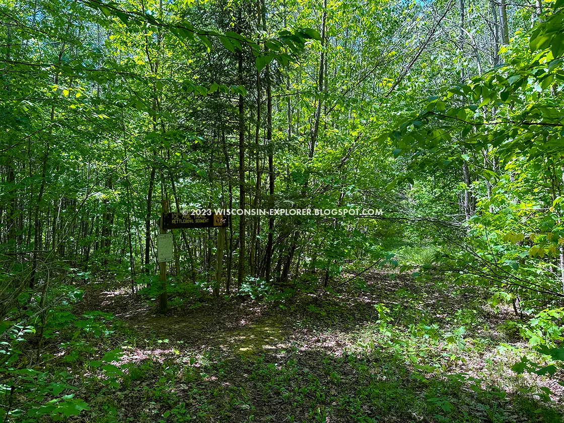
The Kettlebowl Segment of the Ice Age Trail is a 9.9-mile footpath in
Langlade County, Wisconsin. This segment is less hiked than others and has
an abandoned look. While most of the way is on two-track troads, vegetation
growing on the trail reaches up to snare hikers. Hiking it requires an extra
effort.
There is a parking lot on Sherry Road at the southeast trailhead. While
there isn’t technically a lot at the Northwest trailhead, there is a large
gravel area in front of the gate for Kettlebowl Ski Area. If you are careful
to avoid blocking access to the gate, you should be able to park without
trouble in the spring, summer, and fall.
{tocify} $title={Table of Contents}
$ads={1}
advertisement

|
| This is the typical look of the trailbed for the Kettlebowl Segment. A wide two-track grass covered trail with glacial till in the center |
I was lucky to get a ride to the top of the hill, which is the west trailhead at Kettlebowl Ski Area. This is the highest point in Langlade County, and the length of the Kettlebowl segment generally descends from here. That made this hike relatively fast and easy; it would be very different in reverse.
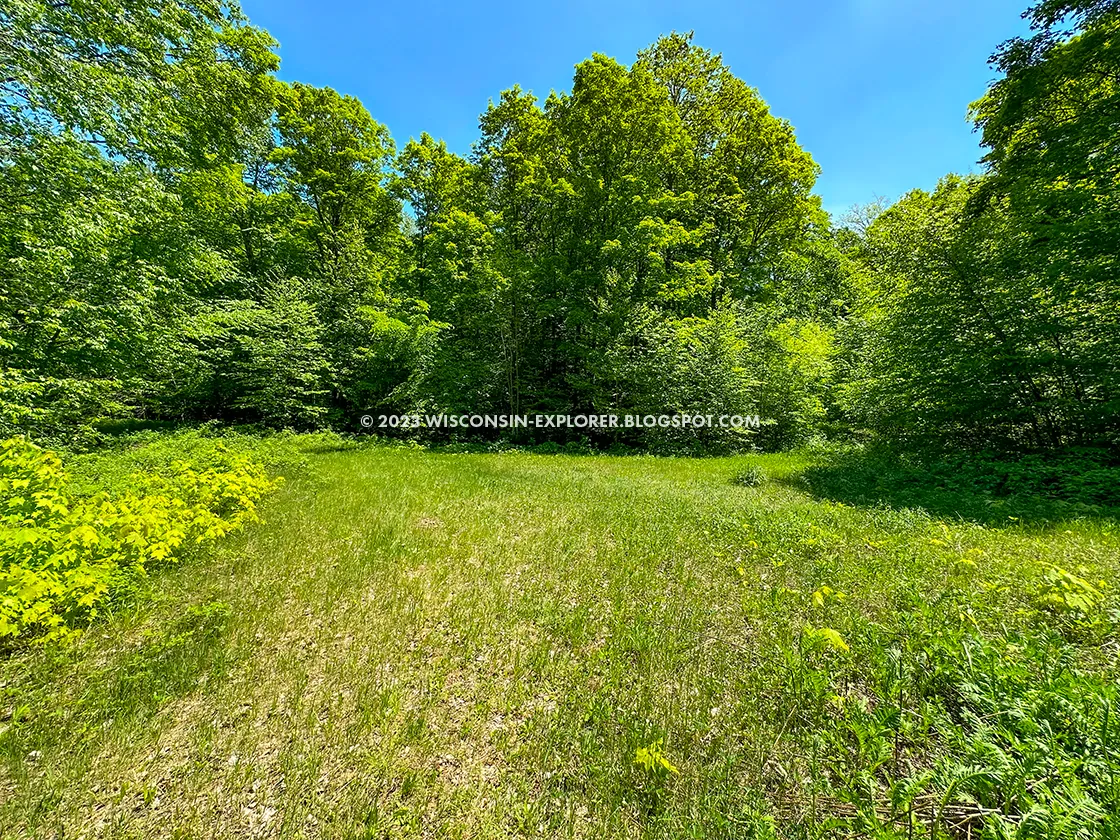
Still, 10 miles is a long slog, especially with thick vegetation on the trail route. Notwithstanding the challenges of this trail, it is pleasant to walk. While the trail mainly runs below the shade of a breezy deciduous forest, the interesting part of this trail is where the forest opens up in a grassy valley where you can bask in the sun for a mile.
The side trail sites are not worth the effort. Big Stone Hole and Kent Hill don’t provide photogenic moments. But, since I was only hiking this trail once, my curiosity got the better of me. I just had to add to my mileage and inventory of bug bites to check out the landmarks.
I was excited to reach the parking lot on Sherry Road. At the end of this sweltering and bug-infested hike, I was ready for a break before my next section of hike.

|
| In some areas the roads are still used by ATV's |
Ice Age National Scenic Trail Kettlebowl Ski Hill Segment
COUNTY
LANGLADE
COMMUNITIES
WHITE LAKE
TOTAL MILES
10.4-MILES POINT-TO-POINT
DIFFICULTY
MODERATE
LOWEST ELEVATION
1460 AMSL
HIGHEST ELEVATION
1880 AMSL
CUMMULATIVE TOTAL ELEVATION GAIN
2000 FT
NEXT IAT SEGMENT WESTBOUND
IAT LUMBER CAMP SEGMENT
NEXT IAT SEGMENT EASTBOUND
IAT PLOVER SEGMENT
Directions and Trail Map
If viewing on a mobile device, open the trail map above to load into Google Maps App by touching the expand rectangle in the upper right corner.
Address for your GPS: 6875 WI-52, White Lake, WI 54491
| coordinates: 45.27649973115081, -88.90265661479376 |
| From Milwaukee | 3 Hours |
| From Madison | 3 Hours |
| From Green Bay | 1.5 Hours |
| From Wausau | 1 Hours |
| From Minneapolis | 3.5 Hours |
| From Chicago | 4.5 Hours |
Photos

|
| The West Trailhead for the Kettlebowl Segment on Highway 52 |

|
| A typical trailhead sign at a gated entrance to the IAT |

|
| Sled Dog trails? Or a snowmobile route titled Sled Dog? |

|
| Helpful map information from days gone by |

|
| This is the best view of the Big Stone Hole. Gaze and wonder. |

|
| According to Open Street Maps this is a paved road. But, it's not a road, its a hiking trail. Its days of being a road are past, so you can ignore those intersection tags on your GPS app. |

|
| This would be an ok place to camp along the trail in the Langlade County Forest |

|
| More roads that the internet thinks are paved roads. Watch out for traffic. |

|
| Just to reinforce that these were once roads, there is a trailhead sign where you turn off of "Burma Road". |

|
| This is actually trail, but it looks more like a road than Burma Road did. |

|
| There's a new section of trail that goes past the Norem Sheep Ranch. |

|
| Here is a view of the historic Norem Sheep Ranch |


