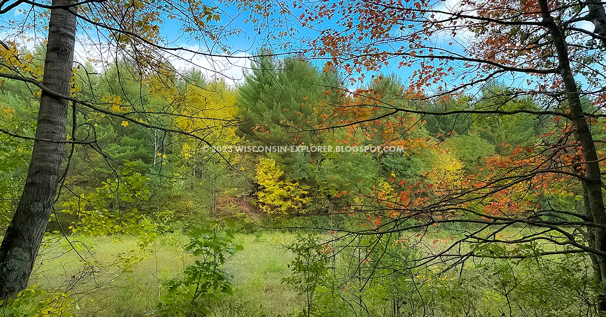
The Sand Creek Segment of the Ice Age Trail is a 6-mile footpath in Burnett and Polk Counties in Northwestern Wisconsin. Its course is gentle and easy, and the trail is wide and easy to follow. This segment connects via a short connecting road route to the Indian Creek Segment at its West trailhead and via a short connecting road walk to the Timberland Hills Segment at its east trailhead.
Parking is available at a lot at the Indian Creek Trailhead or the Timberland Hills Trailhead.
Primitive camping is allowed anywhere on this segment except for the first two miles east of the 15th Avenue trailhead. There is evidence of some campsites off the trail in a thick stand of young white pine near the bridge crossing of Sand Creek.
{tocify} $title={Table of Contents}
$ads={1}
advertisement
With showy colors in full autumn flare, I dove into a golden forest to hike what would be one of my last hikes on the Ice Age Trail. Hiking east to west, the opening miles of the trail were over gentle terrain on a bendy single-track trail. That trail joined a forest road, and I was thankful for a firm road to hike a space between me and encroaching vegetation. I opened up my stride and gazed around at the sights of birds amongst flittering leaves.
One road led to another, all of it designated Ice Age hiking trail. Finally, I reached an orange gate where I realized that the Ice Age Trail here runs along a snowmobile trail. The wide roadbed continued down to banks of the tiny trickle that is Sand Creek.
Sand Creek may be shallow and narrow, but at least it runs year-round and can be counted on for filtering water from for those backpackers that need a refill. Just across the bridge, a shallow hill rises through a pine plantation. A barely visible deer trail to the right heading into the plantation. I followed to a small clearing where I found evidence of a former campsite.
The trail returns to its single-track ways and bounces around some slight elevation changes to another unmarked creek nearly dried up. The creek marks the end of the county forest land, and the trail cuts through private land the rest of the way to County Highway E.
This easy and pleasant out-and-back is a solid 12-mile hike that would be difficult for me in the spring but very much a distance in my wheelhouse in the fall after my hiking legs are strengthened by summer activity.
The Sand Creek Segment can be combined with Indian Creek, McKenzie Creek, Timberland Hills, and Grassy Lake to make a good multi-day backpacking route with plenty of places to refill with water and camp along the way.
COUNTY
POLK, BURNETT, BARRON
COMMUNITIES
INDIAN CREEK, TIMBERLAND
TOTAL MILES
5.7-MILES POINT-TO-POINT
DIFFICULTY
EASY
LOWEST ELEVATION
1160AMSL
HIGHEST ELEVATION
1370 AMSL
CUMMULATIVE TOTAL ELEVATION GAIN
1200 FT
NEXT IAT SEGMENT EASTBOUND
IAT TIMBERLAND HILLS SEGMENT
NEXT IAT SEGMENT WESTBOUND
IAT INDIAN CREEK SEGMENT
If viewing on a mobile device, open the trail map above to load into Google Maps App by touching the expand rectangle in the upper right corner.
Address for your GPS: Ice Age National Scenic Trail, Frederic, WI 54837
| coordinates: 45.67300494800325, -92.18616706672847 |
 |
| Sand Creek on the Ice Age Trail Sand Creek Segment |
Ice Age National Scenic Trail Sand Creek Segment
COUNTY
POLK, BURNETT, BARRON
COMMUNITIES
INDIAN CREEK, TIMBERLAND
TOTAL MILES
5.7-MILES POINT-TO-POINT
DIFFICULTY
EASY
LOWEST ELEVATION
1160AMSL
HIGHEST ELEVATION
1370 AMSL
CUMMULATIVE TOTAL ELEVATION GAIN
1200 FT
NEXT IAT SEGMENT EASTBOUND
IAT TIMBERLAND HILLS SEGMENT
NEXT IAT SEGMENT WESTBOUND
IAT INDIAN CREEK SEGMENT
Directions and Trail Map
If viewing on a mobile device, open the trail map above to load into Google Maps App by touching the expand rectangle in the upper right corner.
Address for your GPS: Ice Age National Scenic Trail, Frederic, WI 54837
| coordinates: 45.67300494800325, -92.18616706672847 |
| From Milwaukee | 4.5 Hours |
| From Madison | 4 Hours |
| From Green Bay | 4 Hours |
| From Wausau | 2 Hours |
| From Minneapolis | 2 Hours |
| From Chicago | 5.5 Hours |


