
The Indian Creek Segment of the Ice Age Trail Is a 5.4-mile moderately difficult footpath in northeastern Polk County. It connects directly to the Mckenzie Creek Segment heading westbound and directly to the Sand Creek Segment heading eastbound.
This segment is served with three parking lots, one at 50th Street, one at 30th Street, and one at 15th Street. Despite its remote and rural location this trail is very popular, and you are likely to encounter other hikers along it.
{tocify} $title={Table of Contents}
$ads={1}
advertisement
My hiking partner and I were enjoying our Labor Day campout at Straight Lake State Park, using our campsite as a base for exploring segments of the Ice Age Trail in Polk and Washburn counties. We had already packed up our campsite, and before leaving the area for home we decided to squeeze in one more quick hike on the Indian Creek segment.
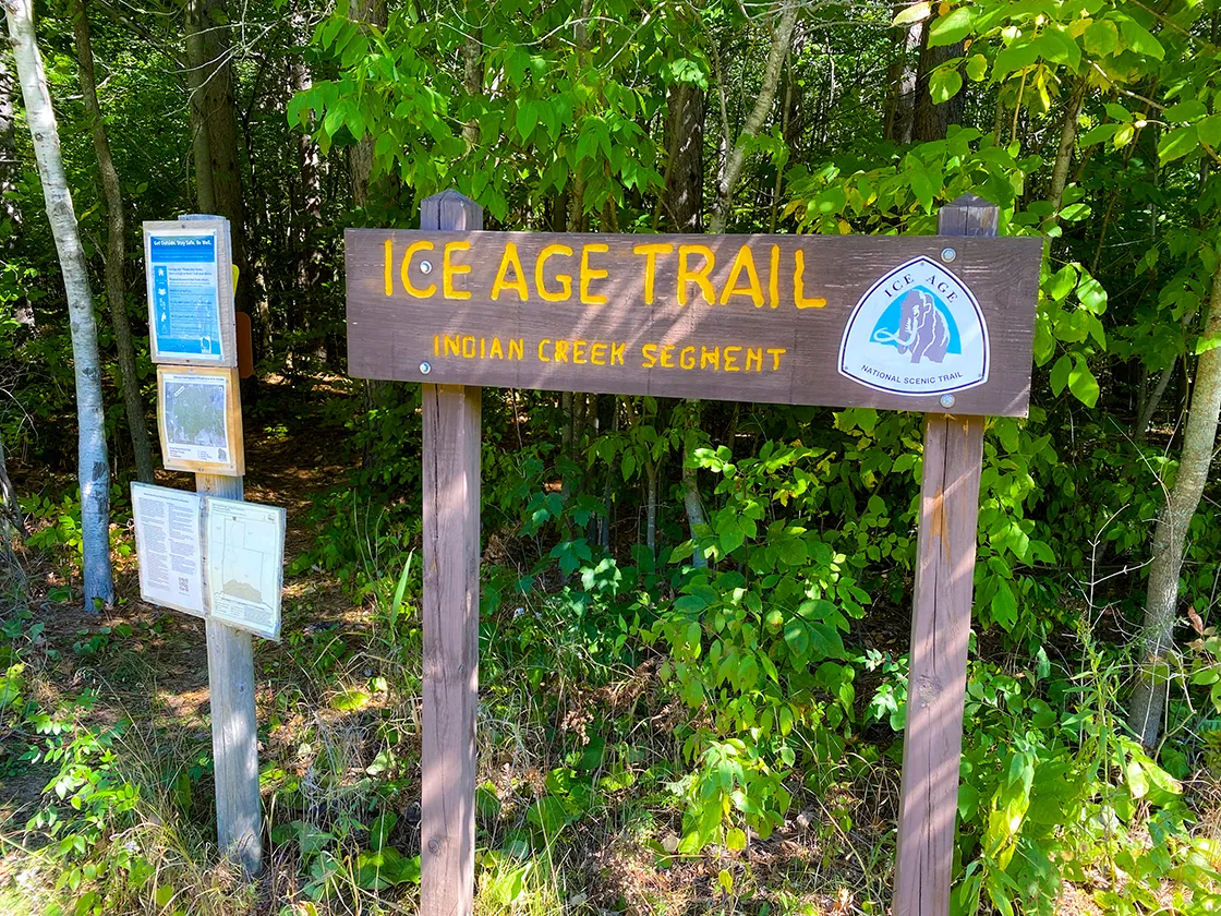
We hiked this trail from its east trailhead heading westbound. The parking lot at 15th St is large and can accommodate eight vehicles. From the lot the trail begins in a sunny and flower colored meadow. It ducks into the forest quickly and emerges into the meadow again before remaining in the shade cover of the Polk County Forest the rest of the way.
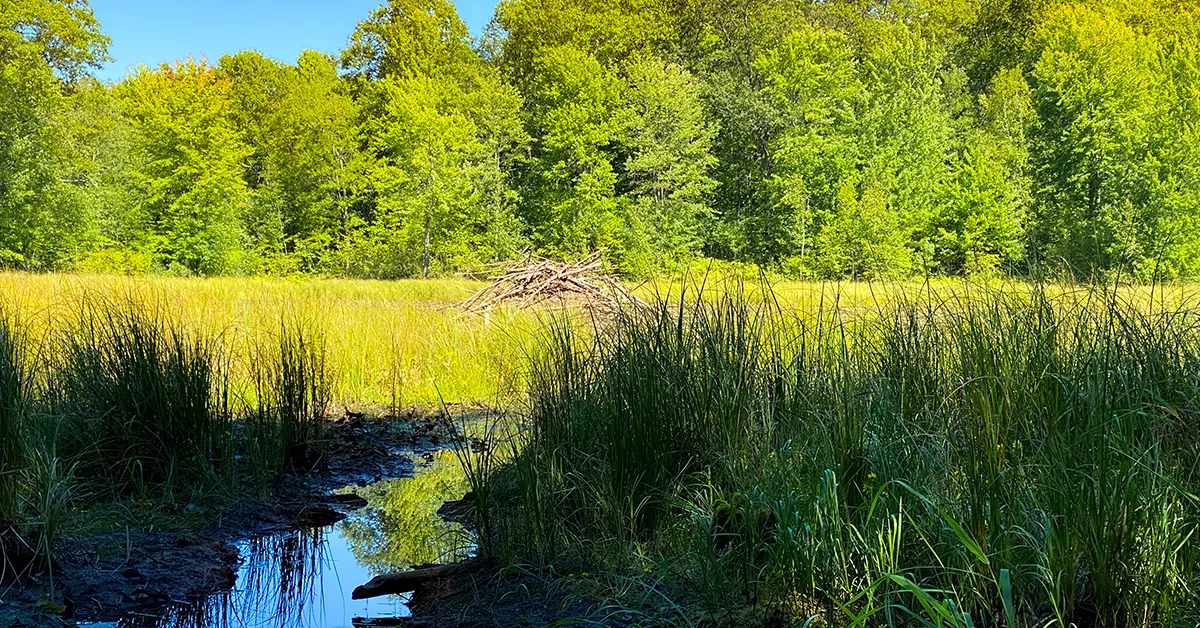
Wireless reception in this area was spotty, but my friend was still able to find several geocaches along our hike. One was tucked into the end of a log part way up a hill off the trail near the headwaters of Indian Creek. The headwaters of Indian Creek is a small and mucky pond prominently featuring a beaver lodge. This is the only reliable water feature along the trail. I would be loath to filter water from this source.
It is legal to camp in the Polk County Forest with a permit but there are no established sites along this trail. The area surrounding the headwaters is within the county forest and the hardwood trees here are thin, so you would likely be able to find a place to set up a couple tents on top of one of these hills.
The trail becomes hillier from the headwaters and climbs its steepest and longest hill just after crossing 30th Street. There is a bench at the top of this hill which we were glad to find. Generally, the elevation descends from there to 50th St along a set of small rollers. The trail crossed several completely dry creek beds. These creek beds were highly eroded and carved out so I can imagine that in wet weather there is a powerful flow of rushing water.
As we approached the western trailhead the trail cut through a dense pine plantation. If I were backpacking a string of several of these segments In Polk County, I would consider setting up camp for a night on the soft flat ground in this pine plantation near 50th Street.

|
| Along the Ice Age Trail Indian Creek Segment |
Ice Age Trail Indian Creek Segment
COUNTY
POLK
COMMUNITIES
CLAM FALLS
TOTAL MILES
5.3-MILES POINT TO POINT
DIFFICULTY
MODERATE
LOWEST ELEVATION
1120 AMSL
HIGHEST ELEVATION
1410 AMSL
TOTAL ELEVATION GAIN
830 FT
NEXT IAT SEGMENT EASTBOUND
SAND CREEK SEGMENT
NEXT IAT SEGMENT WESTBOUND
MCKENZIE CREEK SEGMENT
Directions and Trail Map

Click Map Image to load the full interactive map.
If viewing on a mobile device, open the trail map above to load into Google Maps App by touching the expand rectangle in the upper right corner.
Address for your GPS: 3225 15th Street, Frederic, WI 54837
| coordinates: 45.672920, -92.186022 |
| From Milwaukee | 5 Hours |
| From Madison | 4 Hours |
| From Green Bay | 5 Hours |
| From Wausau | 3 Hours |
| From Minneapolis | 2 Hours |
| From Chicago | 6 Hours |
Photos

|
| Along the Ice Age Trail Indian Creek Segment |

|
| Along the Ice Age Trail Indian Creek Segment |

|
| Along the Ice Age Trail Indian Creek Segment |

|
| Along the Ice Age Trail Indian Creek Segment |
|
| Along the Ice Age Trail Indian Creek Segment |