The Ruth Lake Segment of the North Country National Trail is a 7.5-mile point-to-point footpath in Western Bayfield County WI. This segment connects the Rainbow Lake Wilderness Segment and the Erick Lake Segment. There are not many scenic features or places to camp along this trail, but it is easy to access with parking lots at each end. Water sources for filtering are few and far between – so make sure to start your hike with plenty of drinking water.
{tocify} $title={Table of Contents}
$ads={1}
advertisement
 |
| Square Lake on the Ruth Lake Segment of the North Country Trail |
Eager to get a start on a year of many Northwoods adventures I broke out in late April for a weekend of hiking on the North Country Trail in Bayfield and Douglas Counties. The Ruth Lake connection has long been on my to-do list. Because it lacks scenery and campsites along its length, I’ve previously bypassed it, favoring the more exciting trails in the Chequamegon National Forest.
As you can tell from my photos, there’s not much to see here and the hike is flat, easy, wide, and without challenge. It’s a long stretch of miles that are easy to access from paved County A. I certainly wouldn’t recommend making a long trip up north just for this trail segment, but it is an important forested connection between the Chequamegon and the Bayfield County Forests. And if you are like me, you’ll want to hike every mile of North Country Trail that is offered regardless of the scenery.
Dispersed camping is allowed along this tail in both the Chequamegon and Bayfield County forests. Your best bet for a campsite might be near Square Lake, which you can use for a water source and swimming.
 |
| Aspen regeneration along the Ruth Lake Segment of the North Country Trail |
North Country National Trail - Ruth Lake Segment
COUNTYBAYFIELD
COMMUNITIES
IRON RIVER
TOTAL MILES
7.5-MILES POINT-TO-POINT
DIFFICULTY
EASY
LOWEST ELEVATION
1170 AMSL
HIGHEST ELEVATION
1330 AMSL
TOTAL ELEVATION GAIN
1050 FT
NEXT NCT SECTION WESTBOUND
Erick Lake Segment
NEXT NCT SECTION EASTBOUND
Rainbow Lake Wilderness Segment
Directions and Trail Map
If viewing on a mobile device, open the trail map above to load into Google Maps App by touching the expand rectangle in the upper right corner.
Address for your GPS: Iron River, WI 54847
| coordinates: 46.49446595084967, -91.43824935809852 |
| From Milwaukee | 6 Hours |
| From Madison | 5 Hours |
| From Green Bay | 4.5 Hours |
| From Wausau | 3.5 Hours |
| From Minneapolis | 3 Hours |
| From Chicago | 7 Hours |
Photos
 |
| The West trailhead at Bayfield County Highway A |
 |
| Parking at the West trailhead at Bayfield County Highway A |
 |
| Along the Ruth Lake Segment of the North Country Trail |
 |
| From County Highway A it is less than a mile before you cross into the Chequamegon National Forest at this sign |
 |
| There is a small pond for filtering drinking water from not far from the West trailhead. May not be safe in warm weather seasons. |
 |
| near the pond there is an ATV trail |
 |
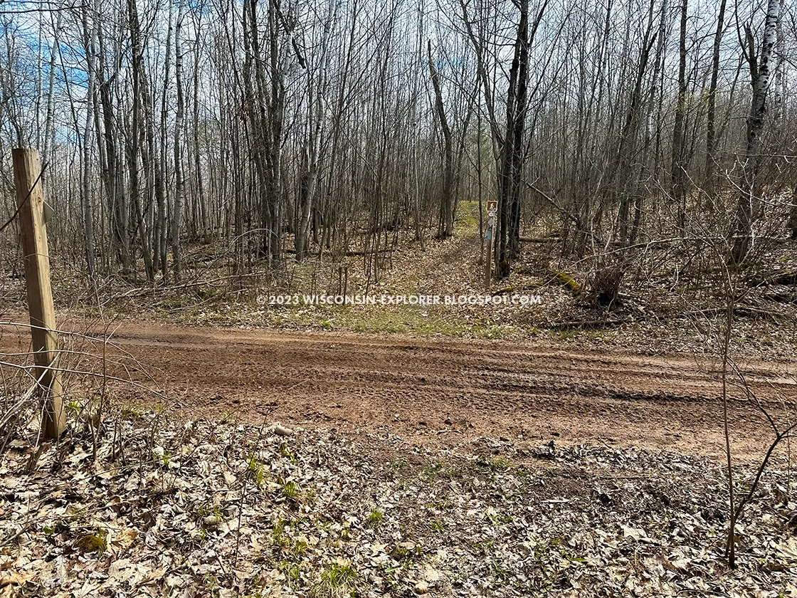
| The trail also crosses Forest Road 411 and there is shoulder space here for parking |
 |
| Most of the Ruth Lake Segment is flat, even and straight - likely an old rail line used for logging. |
 |
| Some Spring ephemera to liven up the walk. |
 |
| Near Square Lake the forest adds pine trees |
 |
| A short spur to Square Lake is worth the out-and-back. This area would be good for dispersed camping for overnight backpackers. Square Lake is a ood source for drinking water year round |
 |
| Parking at the East trailhead for the Ruth Lake Segment of the North Country Trail |

