The Ice Age Trail Bear Lake Segment is a 5.4-mile-long point-to-point footpath in Barron County, Wisconsin. This segment is relatively easy with few steep hills. However, there are some stretches where the trail bed is narrow and rocky.
The trail scenery includes wetland views, beaver lodges, and deciduous forest cover. A notable feature of this segment is that it crosses one of the largest Scout reservations in the state – the L.E Phillips Scout Camp. For a few miles, you will be walking on scout camp roads between troops of cubs scouts – Please be trustworthy, loyal, helpful, friendly, courteous, kind, obedient, cheerful, thrifty, brave, clean, and reverent while passing through this area.
The remaining section of the Bear Lake Segment rolls through Barron County Forest, between Crooked Lake and 30th Ave, where leave-no-trace dispersed camping is allowed with a Barron County permit. There are no established campsites along this segment.
Spacious parking lots are located at both the east and west trailheads. The Bear Lake Segment connects directly to the Grassy Lake Segment heading westbound. It is separated by many miles of connecting road routes and along the Tuscobia ATV trail to the next footpath segment – the Hemlock Creek Segment heading eastbound.
{tocify} $title={Table of Contents}
$ads={1}
advertisement

Having nearly hiked the entire length of the Ice Age National Trail, it was a great pleasure to discover one of the last segments I needed to complete was an easy, breezy walk on gentle terrain. The IAT guidebook calls this trail hummocky—I’m not sure where they got that idea. Where there are small rollers they are nearly undetectable.
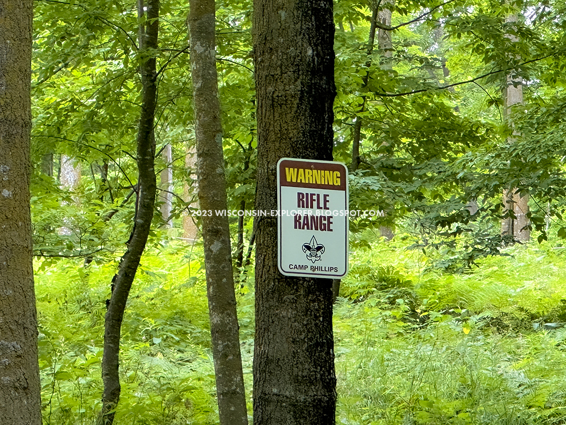
The sights and sounds of Cub World diverted my attention through the first miles of this hike. As a boy scout in my youth, I was immersed in summer camp nostalgia as I rolled along the IAT behind the rifle range, past one of the waterfronts, and beside a western-themed campsite. I was glad to see that the waterfront still uses pegboards with blue and red paper discs colored with your swimming skill level, which reminded me of when I did the mile swim at Camp Bear Paw.
As the trail leaves Cub World and enters the Boy Scout Camp, the IAT route follows along camp roads, and it is easy to miss the sharp left-hand turn where the IAT diverges. After a few minutes without spotting a yellow blaze, I turned about and retraced my way to the footpath. Within a few minutes, the scene of the trail transformed from a busy scout camp into serene wetland scenery beside Crooked Lake.
From Crooked Lake to the west trailhead at 30th Ave, the trail runs through dense and young hardwood forest. At times, it is a green wall with thick underbrush and the occasional mud pit. One area, near a white-blazed scenic loop, was narrow and rock-strewn. Other lengths of the segment were wide and straight with a soft mud floor.
Completing this trail as an out-and-back made for a healthy 11-mile day hike, which I was able to complete in 4 hours.

|
| L E Phillips Scout Reservation waterfront from the Ice Age Trail Bear Lake Segment |
Ice Age National Scenic Trail Bear Lake Segment
COUNTY
BARRRON
COMMUNITIES
RICE LAKE
TOTAL MILES
5.4-MILES POINT-TO-POINT
DIFFICULTY
EASY
LOWEST ELEVATION
1230 AMSL
HIGHEST ELEVATION
1330 AMSL
CUMMULATIVE TOTAL ELEVATION GAIN
900 FT
NEXT IAT SEGMENT EASTBOUND
HEMLOCK CREEK SEGMENT
NEXT IAT SEGMENT WESTBOUND
GRASSY LAKE SEGMENT
Directions and Trail Map
If viewing on a mobile device, open the trail map above to load into Google Maps App by touching the expand rectangle in the upper right corner.
Address for your GPS: 2900 16th St, Rice Lake, WI 54868
| coordinates: 45.61935946435126, -91.82693382973072 |
| From Milwaukee | 4.5 Hours |
| From Madison | 3.5 Hours |
| From Green Bay | 3.5 Hours |
| From Wausau | 2.5 Hours |
| From Minneapolis | 2 Hours |
| From Chicago | 5.5 Hours |
Photos