|
The Ice Age Trail Pine Lake Segment is a 3-mile easy and gentle linear footpath in northwestern Wisconsin near the Village of Luck. It connects the Straight River Segment to the McKenzie Creek Segment. The majority of this segment passes through open fields, meadows, and pristine prairies on a mowed grass two track path. The trail is well defined in most areas except for where it crosses private lands on the Straight River end of the segment.
{tocify} $title={Table of Contents}
$ads={1}
advertisement

|
| Ice Age Trail Pine Lake Segment |
The Pine Lake Segment picks up on private property where the Straight River Segment terminates. These first properties of this trail segment are frequently closed by the owner, so be prepared with maps of the area to figure out a way around if you are thru hiking. The other issue here is that there is not a good parking spot for the section of the Pine Lake Segment at Round Lake Road and Highway 48.
This initial length of the trail is scraggly and lacking in any scenery, so if you are a out-n-back section hiker like myself I would recommend excluding that length of the trail. If you do hike it, you will be clamoring over fences and walking among cows on grazing land. After the cow fields there is a very muddy troad section that intersects many ATV and access roads - so stay alert for the yellow blazes. I also saw a pile of deer carcasses only a few feet off the trail - clear evidence of some large predators in the area.
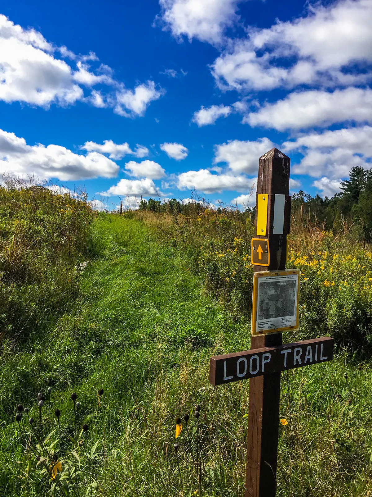
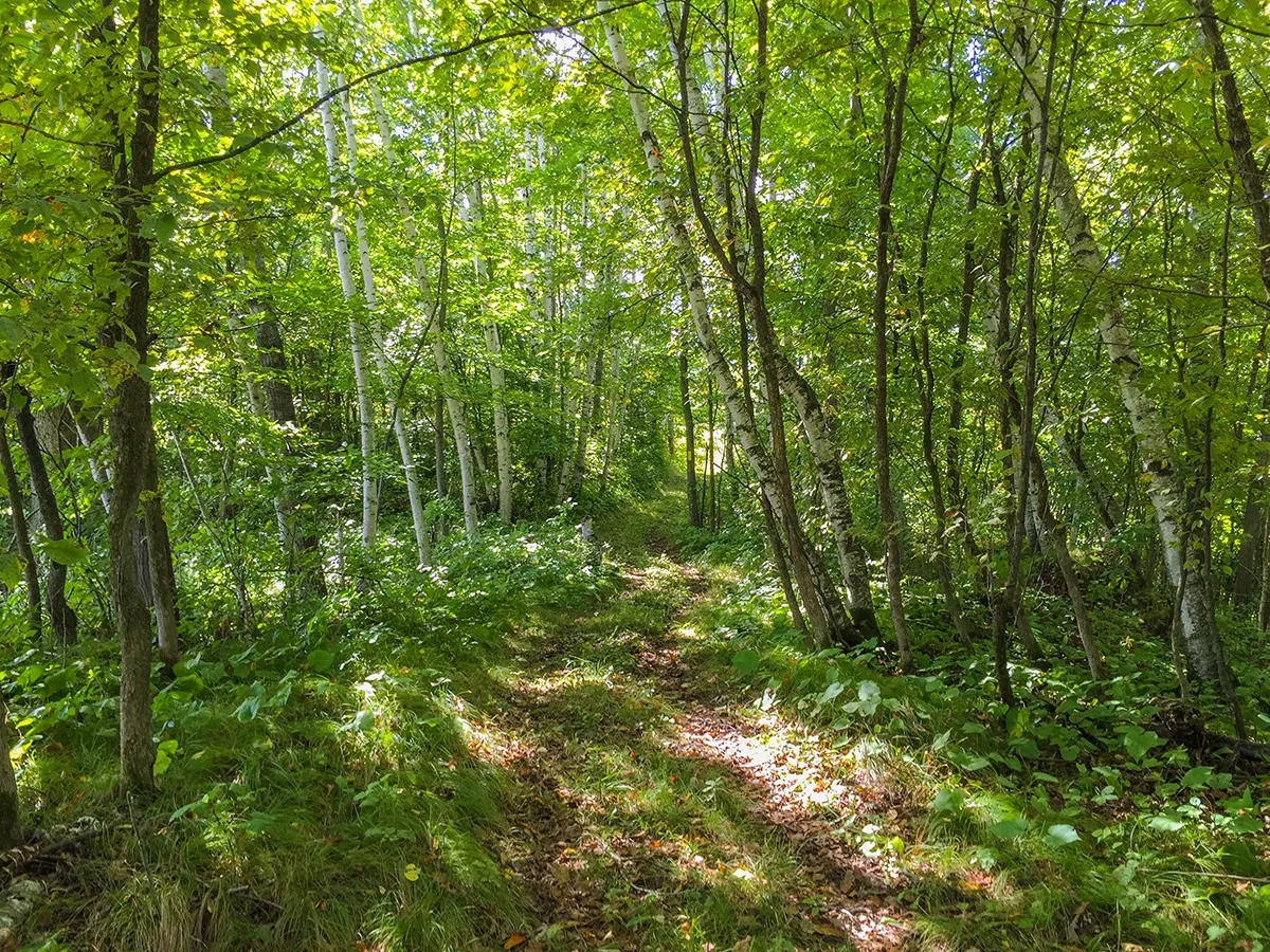
Across highway 48 however, the trail opens up as it passes through a graceful forest and then into open restored prairies. This more mild and serene terrain made for great afternoon hiking in the sun. A loop trail offers even more open trail through prairie grasses and colorful wildflowers. There is a great large parking area at the end of the Pine Lake Segment on 70th street.
The area of trail including the scenic loop near the 70th street lot is a great and mild walk for families and groups. It would take about an hour to hike the loop. For thru hikers, the next segment, The McKenzie Creek Segment, begins a few blocks up 70th street on north side of 270th street.

|
| Ice Age Trail Pine Lake Segment |
Overview: Ice Age Trail - Pine Lake Segment
COUNTYPOLK COUNTY
COMMUNITIES
FREDERICK, LUCK
TOTAL MILES
2.9-MILE POINT-TO-POINT
DIFFICULTY
EASY
LOWEST ELEVATION
1120 AMSL
HIGHEST ELEVATION
1300 AMSL
TOTAL ELEVATION GAIN
400 FT
TOTAL ELEVATION LOST
-350 FT
NEXT IAT SEGMENT EASTBOUND
MCKENZIE CREEK SEGMENT
NEXT IAT SEGMENT WESTBOUND
STRAIGHT RIVER SEGMENT
Directions and Trail Map
DOWNLOAD PRINTABLE PDF USGS TOPOGRAPHIC MAPBIG ROUND LAKE QUADRANGLE
Click Map Image to load the full interactive map.
Address for your GPS: 2665 70th Street, Frederic, WI 54837
| coordinates: 45.591830, -92.304600 |
| From Milwaukee | 5 Hours |
| From Madison | 4 Hours |
| From Green Bay | 4 Hours |
| From Wausau | 2.5 Hours |
| From Minneapolis | 1.5 Hour |
| From Chicago | 6 Hours |
Photos

|
| Ice Age Trail Pine Lake Segment |

|
| Ice Age Trail Pine Lake Segment |

|
| Ice Age Trail Pine Lake Segment |

|
| Ice Age Trail Pine Lake Segment |

|
| Ice Age Trail Pine Lake Segment |

|
| Ice Age Trail Pine Lake Segment |


