The Ringle segment of the Ice Age Trail is a 9.4-mile single-track footpath in Marathon County. This trail is moderately difficult, with frequent small hills as it bounces around through mixed hardwood and pine forest.
This segment connects directly to the Thornapple Creek Segment at its northwest trailhead. It is separated from the New Hope Iola Segment by a 28.5-mile connecting road route from its southeast trailhead.
Parking lots are available near the northwest trailhead, midway on Poplar Lane, and at the Hatley Public Library at the southeast trailhead.
Potable water and restrooms are available at the library during open hours.
{tocify} $title={Table of Contents}
$ads={1}
advertisement

|
| Snowshoeing the Ice Age Trail Ringle Segment |
Happy New Year! The Ringle segment was my hiking group’s 2022 First-Day Hike. How beautiful the Ice Age Trail is to see when it is painted over with a fresh coat of white snow.
I had just received snowshoes for Christmas a week earlier and was eager to try them out. There was plenty of snow to lollygag around in, and the lower bows of pine trees nearly touched the ground under the weight of it. Unfortunately, it was also extremely cold, and we needed to be bundled in heavy layers.
Nonetheless, we persisted in our hikes. We divided this trail into two outings over two days since snowshoe hiking is slower adn more difficult than regular hiking.
The Ringle Segment has had extensive trail maintenance over the preceding years, and the new route is vastly different than some of the older guidebooks and maps portray. The new signage was well-placed and legible, so we did not have trouble finding our way.
I’ll let the photos below tell the story of our wonderful winter hike.

|
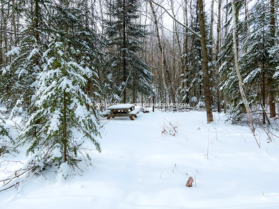
| Dispersed Camp Area along the Ice Age Trail Ringle Segment |
Ice Age National Trail Ringle Segment
COUNTY
MARATHON
COMMUNITIES
RINGLE, HATLEY
TOTAL MILES
8.5-MILES POINT-TO-POINT
DIFFICULTY
MODERATE
LOWEST ELEVATION
1260AMSL
HIGHEST ELEVATION
1500 AMSL
TOTAL CUMMULATIVE ELEVATION GAIN
1600 FT
NEXT IAT SEGMENT HEADING EASTBOUND
IAT NEW HOPE IOLA SEGMENT
NEXT IAT SEGMENT HEADING WESTBOUND
IAT THORNAPPLE CREEK SEGMENT
Directions and Trail Map
Address for your GPS: 176054 County Rd N, Birnamwood, WI 54414
| coordinates: 44.942585, -89.354920 |
| From Milwaukee | 3 Hours |
| From Madison | 2.5 Hours |
| From Green Bay | 1 Hours |
| From Wausau | 20 Minutes |
| From Minneapolis | 3 Hours |
| From Chicago | 4.5 Hours |
Photos

|
| Parking lot near the trailhead for the Ringle and Thornapple Segments |

|
| Snowshoeing the Ice Age Trail Ringle Segment |

|
| Snowshoeing the Ice Age Trail Ringle Segment |

|
| Snowshoeing the Ice Age Trail Ringle Segment |

|
| Snowshoeing the Ice Age Trail Ringle Segment |

|
| Snowshoeing the Ice Age Trail Ringle Segment |

|
| Snowshoeing the Ice Age Trail Ringle Segment |

|
| Snowshoeing the Ice Age Trail Ringle Segment |

|
| Snowshoeing the Ice Age Trail Ringle Segment |

