|
| Tumbled Rocks Trail |
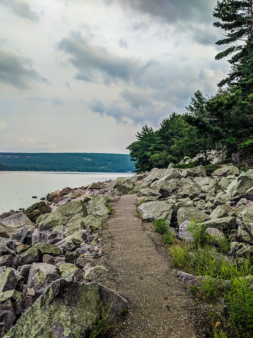
The Tumbled Rocks Trail is Devil's Lake's most popular trail. It is an easy 1.6-mile linear trail that cuts through a boulder field (or talus slope) along the shoreline of Devil's Lake. This trail is paved in asphalt and makes a great excursion for everyone in the family.
{tocify} $title={Table of Contents}
$ads={1}
advertisement
The talus slopes are among the most impressive and memorable features at Devil's Lake State Park. The talus are the boulder-sized broken quartzite rocks at the base of the bluffs. In mountainous areas, these debris fields are called scree.
climbing up, over, and around the scree is irresistible to the adventurous. All throughout the park you will find explorers who have been tempted to immerse themselves in this alien landscape. For those not able to leap from boulder to boulder, you'll find ample opportunities to get into the talus slopes via Devil's Lakes's famous hiking trails. On the South Face of the East Bluff, three difficult trails climb the talus slopes. But, the Tumbled Rocks Trail provides the best opportunity to enjoy the talus slopes on an easy family-friendly paved route along the lakeshore.
The 1.8-mile linear Tumbled Rocks Trail sets out from the North Shore along the west side of the lake and finishes near the south boat launch. This trail is most often hiked as a 3.4-mile out-and-back. But this trail is easily paired with the West Bluff Trail to create a 4-mile loop. You can also reach the South Shore via the Tumbled Rocks Trail and the Ice Age Trail at the south end of the lake. Another favorite loop route is to combine the East Bluff, Balanced Rock, and Tumbled Rocks trails to circumnavigate Devil's Lake.

|
| Tumbled Rocks Trail |
Devil's Lake State Park - Tumbled Rocks Trail
COUNTY: Sauk
COMMUNITIES: Baraboo, Merrimac
TOTAL MILES: 1.6-Miles linear
DIFFICULTY: Easy
POINTS OF INTEREST: Devil's Lake, West Bluff Talus Slope
CAMPING: Devil's Lake State Park Camping
Directions and Trail Map
Click Map Image to load the full interactive map.
Address for your GPS: S5975 Park Rd, Baraboo, WI 53913
| coordinates: 43.434496, -89.739531 |
| From Milwaukee | 2 Hours |
| From Madison | 45 minutes |
| From Green Bay | 2.5 Hours |
| From Wausau | 2 Hours |
| From Minneapolis | 3.5 Hours |
| From Chicago | 3 Hours |
Links
Devil's Lake State ParkOther Trails at Devil's Lake State Park
East Bluff Trail
West Bluff Trail
Balanced Rock Trail
Devil's Doorway Trail
Potholes Trail
CCC Trail
Group Camp and Grottos Trail
Roznos Meadow Trail
Steinke Basin Trail
Upland Trail
East Bluff Woods Trail
Johnson Moraine Trail
Ice Age Trail Devil's Lake Segment
Ice Age Trail Sauk Point Segment
Ice Age Trail Merrimac Segment
Parfrey's Glen Trail


