|
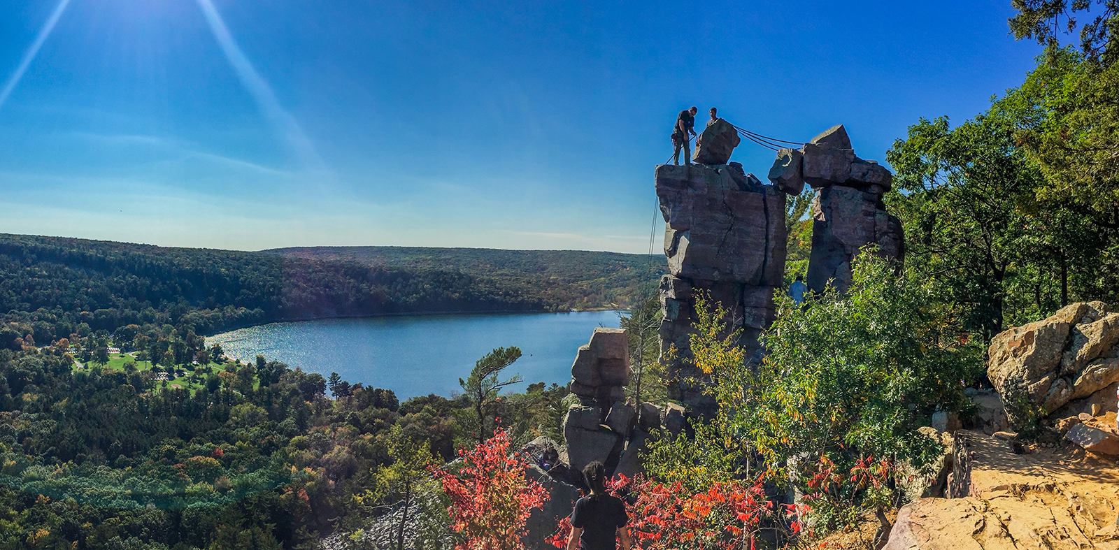
Devil's Lake is Wisconsin's most popular state park and hosts the 11 most popular miles of the Ice Age National Scenic Trail. In the summer and fall the number of hikers exploring sections of the IAT at Devil's Lake can number in the thousands each day while several hundred traverse the trail each day in spring and winter. Most hikers here do not realize they are on the IAT.
The course of the IAT at Devil's Lake extends over 10.8 miles of other named footpaths and park roads. Traditionally, the IAT route begins on the Uplands trail at Highway 113. It heads towards the Steinke Basin where it hooks up with the Johnson Moraine Trail, navigates roads through the Ice Age Campgrounds and then into the North Shore Picnic Area.
The trail climbs the West Bluff Trail and then wraps around the South Shore to meet the Balanced Rock Trail. At the top of the Balanced Rock Trail the IAT takes a hard right onto the East Bluff Trail and meets up with the Upland Trail again before veering off onto the Roznos Meadow Trail.
The Devil's Lake Segment of the Ice Age Trail connects directly to the IAT Sauk Point Segment heading westbound, and directly to the IAT Merrimac Segment heading eastbound. Along all of these trails you will find the signature yellow rectangle blaze that indicates you are on the Ice Age Trail.
{tocify} $title={Table of Contents}
$ads={1}
advertisement
|
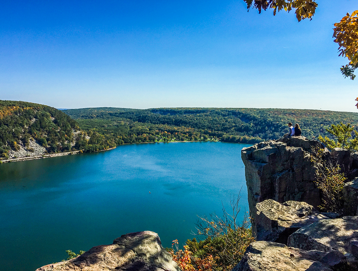
| Prospect Point on the West Bluff Trail at Devils Lake State Park |
The Ice Age Trail at Devil's Lake is one of the epic hikes of the Midwest. Not many trails in this region can boast of two level 4 mountaineering rated climbs. The geologic scenery is a mix of terminal moraine and driftless area features. The purple-hued Baraboo quartzite is 1.6 billion years old, but the tumbled rocks that plug the valley are 16,000 years old - deposited by glaciers. On these rocky Baraboo hills, scraggly and knotted evergreens imbue the highlands with an ancient ambiance.
The Ice Age Trail traditionally travels from west to east - beginning at Interstate State Park in St. Croix Falls and ending at Pottawatomie State Park in Sturgeon Bay. At Devil's Lake, the western trailhead is actually on the east end of the park at Highway 113 at the intersection with the Sauk Point Segment which extends out to Parfrey's Glen State Natural Area. At the intersection on 113, there is a small parking lot fitting about 8 vehicles. A short connection trail leads from this lot to the first leg of the IAT at Devil's Lake, The Uplands Trail.
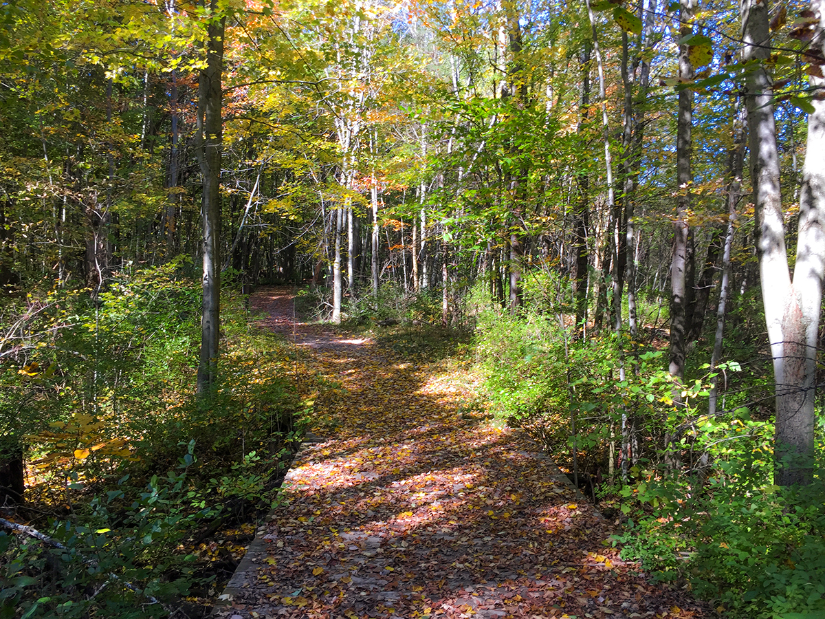
Heading northwest the Uplands Trail is a gentle and wide multi-use trail with a gravel bed that meanders through hardwood forests. The trail crosses several bridges over streams before connecting with the Johnson Moraine Trail and Steinke Basin Loop. To continue on the IAT take the hard right onto the Johnson Moraine Trail. This trail will cross County Road DL and climbs uphill towards the Ice Age Campground.
The Johnson Moraine Trail lets out in the campgrounds and the IAT continues along the winding and rounding campground roads to the camp shower house. The IAT then follows the camp road down a long hill to the camp store and a tunnel under County Road DL. Just after passing under the road the IAT ducks back onto the footpath at the Amphitheater - an easy to miss turn-off. This trail rejoins the camp road and the IAT follows the road down to the North Shore picnic area and beach.
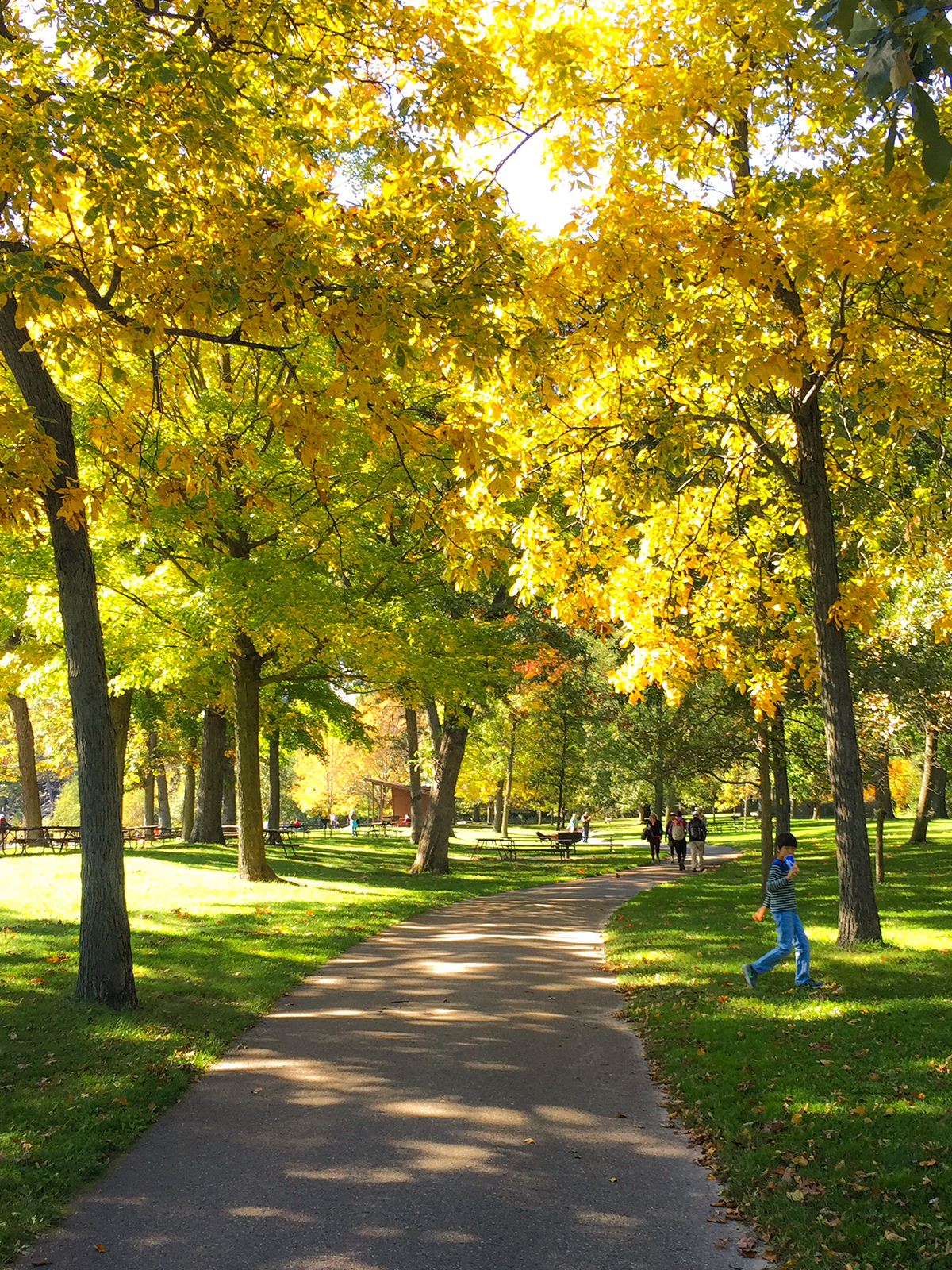
The beach area at the North Shore is a hub of activity. There is a great concession stand, beautiful picnic areas, a beach, and boat rentals. Flush toilets and showers are also available here. This will be the most congested area of the park and where most hikers find their way onto the Ice Age Trail. The parking lots on this end of the park are often full by early morning from Wisconsin Dells tourism traffic.
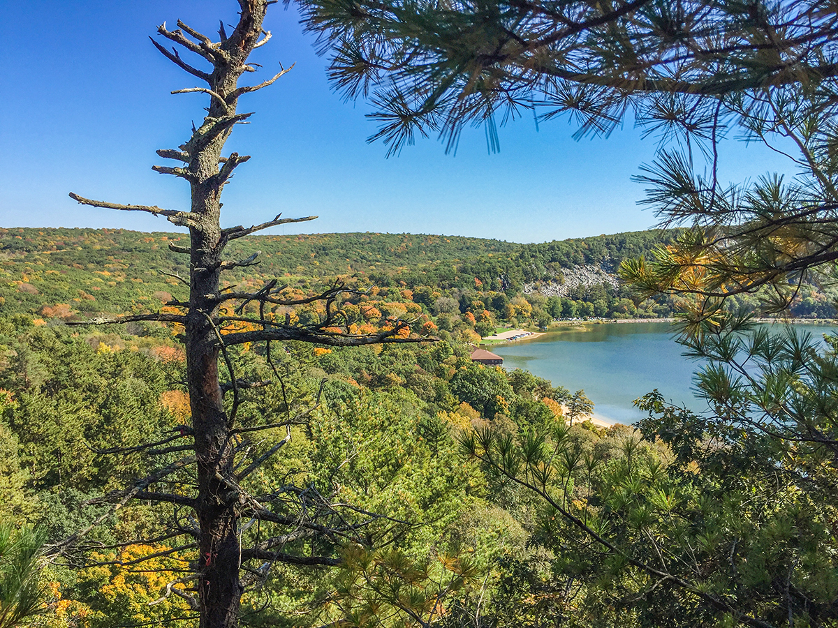
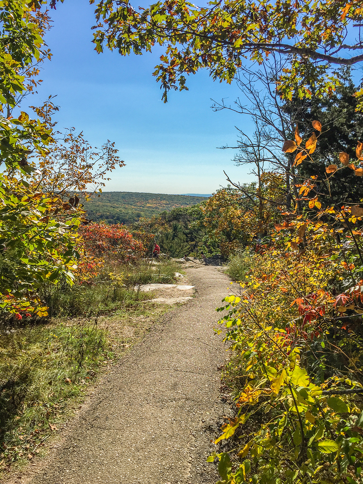
At the west end of the picnic area, you will find the Tumbled Rocks Trail - an easy trail along the lakeshore which can be paired with the West Bluff Trail to create a great loop route. But, the Ice Age Trail continues on the West Bluff Trail. The initial climb is a steep climb up large stone stairs built by CCC crews. The West Bluff is a long climb. There are many overlooks along the climb to stop at to catch your breath. Each of these overlooks offers photogenic views of the Lake and valley, but the best overlooks are further in after the trail has leveled out. You'll find Prospect Point at the halfway point of the West Bluff Trail where the trail begins to gently descend the bluff.
The West Bluff Trail finishes out at Cottage Grove Road which leads to the Tumbled Rocks Trail. The IAT continues along the South Shore on a sidewalk. The sidewalk joins a boardwalk alongside a natural beach and into the South Shore picnic and beach area. Another concession stand, boat rental, showers, water, and flush toilets are available at the South Shore.
The steepest mountaineering rated climb of the hike is the popular Balanced Rock Trail from the South Shore. This trail is often very congested with hikers, though it thins out as the trail continues to ascend beyond Balanced Rock. The trail here is a rock hop and scramble over giant boulders and stones.
The steppingstones of the path are set into place with asphalt, but many stones are loose. Experienced mountain hikers know not to follow directly in the line behind another hiker - lest the hiker in front lose a rock and send it tumbling into the hiking party below. Unfortunately, the Balanced Rock Trail is very popular, and it is not possible to avoid following the line. With so much traffic, oftentimes hikers hop out onto the loose rocks alongside the trail - and this is where the danger is of sending a boulder tumbling downhill. To avoid sending tumblers downhill, make sure of your footing and try to avoid handling the smaller boulders and rocks.
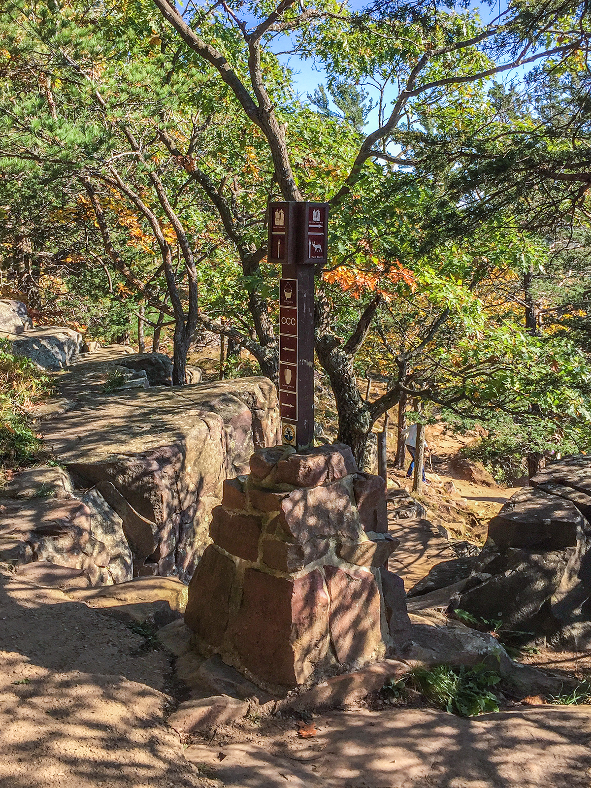
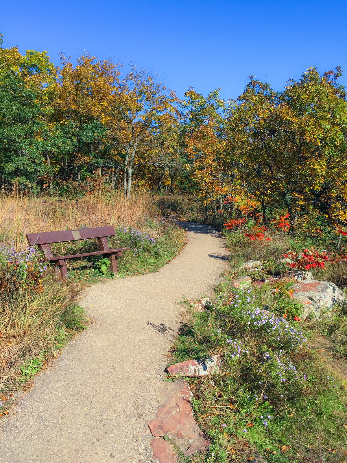
On top of East Bluff, the trail is very gentle and rolls along an asphalt footpath towards Devil's Doorway. There are many well-intentioned trail markers signaling the directions to the Devil's Doorway, The Potholes Trail, and the CCC Trail. However, you will find gatherings of confused hikers at each marker trying to decipher the icons and arrows. It is safe to assume that someone has ripped off some of the key arrow markers. It is important to have a trail map to consult at the markers in order to find your way to Devil's Doorway and back onto the Ice Age Trail route.
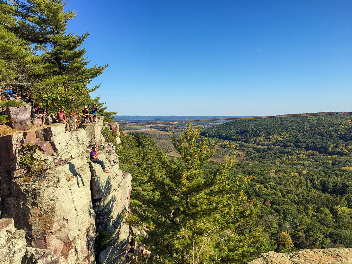
After seeing Devil's Doorway it is important to keep a good eye on the trail because there is turn off that is easily missed. You'll hike past several grand overlooks on the south face. The South Face has become the most popular rock-climbing section of the park. The East Bluff Trail veers off to the left into the woodlands at an emergency evacuation point. As mentioned, it is easy to miss this - as I did multiple times.
The last time I hiked this trail I continued to walk on the CCC trail and off the CCC trail. In the woods, I found 3 other hikers who were out hiking the IAT loop that day who had also missed the East Bluff turn off. Luckily, we had two phones with GPS and were able to bushwhack a short way to hook up with the Uplands Trail that we were all looking for.
The Uplands Trail continues back to the parking lot at highway 113. Most day hikers will take this spur to form a loop route. Along the way there is an intersection with the Roznos Meadow Trail. The Roznos Meadow Trail descends gently through woodlands into the flat and scenic Roznos Meadow. At the intersection with the Merrimac Segment there is a large parking lot for 20 vehicles and trailhead.
|
| North Shore Picnic Area and Beach at Devils Lake State Park |
Ice Age National Scenic Trail - Devils Lake Segment
COUNTYSAUK COUNTY
COMMUNITIES
BARABOO, MERRIMAC
TOTAL MILES
10.8-MILE POINT-TO-POINT
DIFFICULTY
DIFFICULT
LOWEST ELEVATION
840 AMSL
HIGHEST ELEVATION
1500 AMSL
TOTAL ELEVATION GAIN
2710 FT
TOTAL ELEVATION LOST
-3150 FT
CAMPING
Devil's Lake State Park, Nordic Pines Campground
LODGING
Nordic Pines Campground, Wildwood Inn, Devils Head Resort
POINTS OF INTEREST
Devil's Lake State Park, Johnson Moraine, Upland Trail, Amphitheater, West Bluff Trail, Prospect Point, Balanced Rock, Devil's Doorway, East Bluff Trail, South Face, Roznos Meadow
NEXT IAT SEGMENT EASTBOUND
MERRIMAC SEGMENT
NEXT IAT SEGMENT WESTBOUND
SAUK POINT SEGMENT
Directions and Trail Map
DOWNLOAD PRINTABLE PDF USGS TOPOGRAPHIC MAPBARABOO QUADRANGLE
Click Map Image to load the full interactive map.
Address for your GPS: S6049 WI-113, Baraboo, WI 53913
| coordinates: 43.424654, -89.685776 |
| From Milwaukee | 2 Hours |
| From Madison | 45 Minutes |
| From Green Bay | 2.5 Hours |
| From Wausau | 2 Hours |
| From Minneapolis | 3.5 Hour |
| From Chicago | 3 Hours |
Photos

|
| West Bluff Trail at Devil's Lake State Park. |
|
| The Uplands Trail at Devils Lake State Park |

|
| Johnson Moraine at Devils Lake State Park |

|
| North Shore Beach at Devils Lake State Park with West Bluff at left |
|
| West Bluff Trail at Devils Lake State Park |
|
| West Bluff Trail at Devils Lake State Park |
|
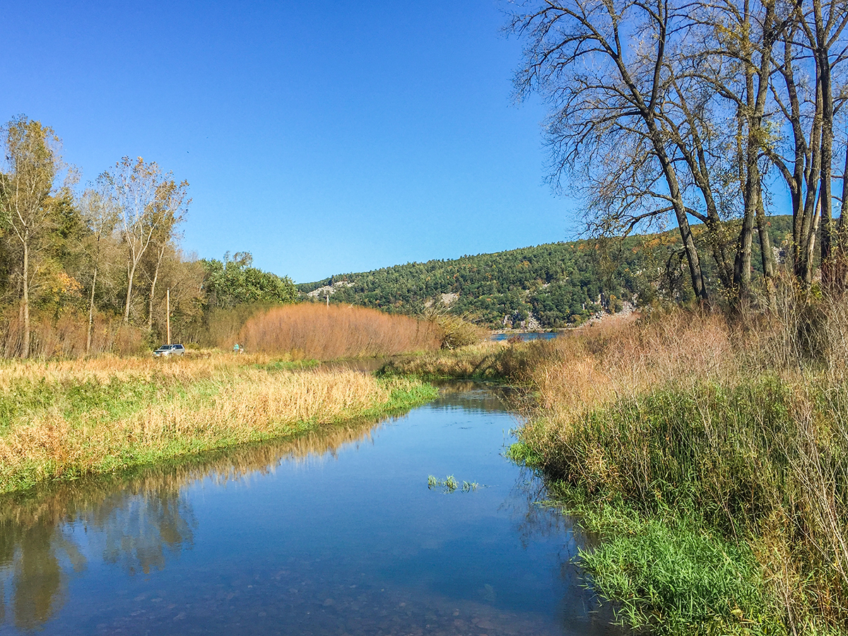
| Mouth of stream at Devil's Lake |
|
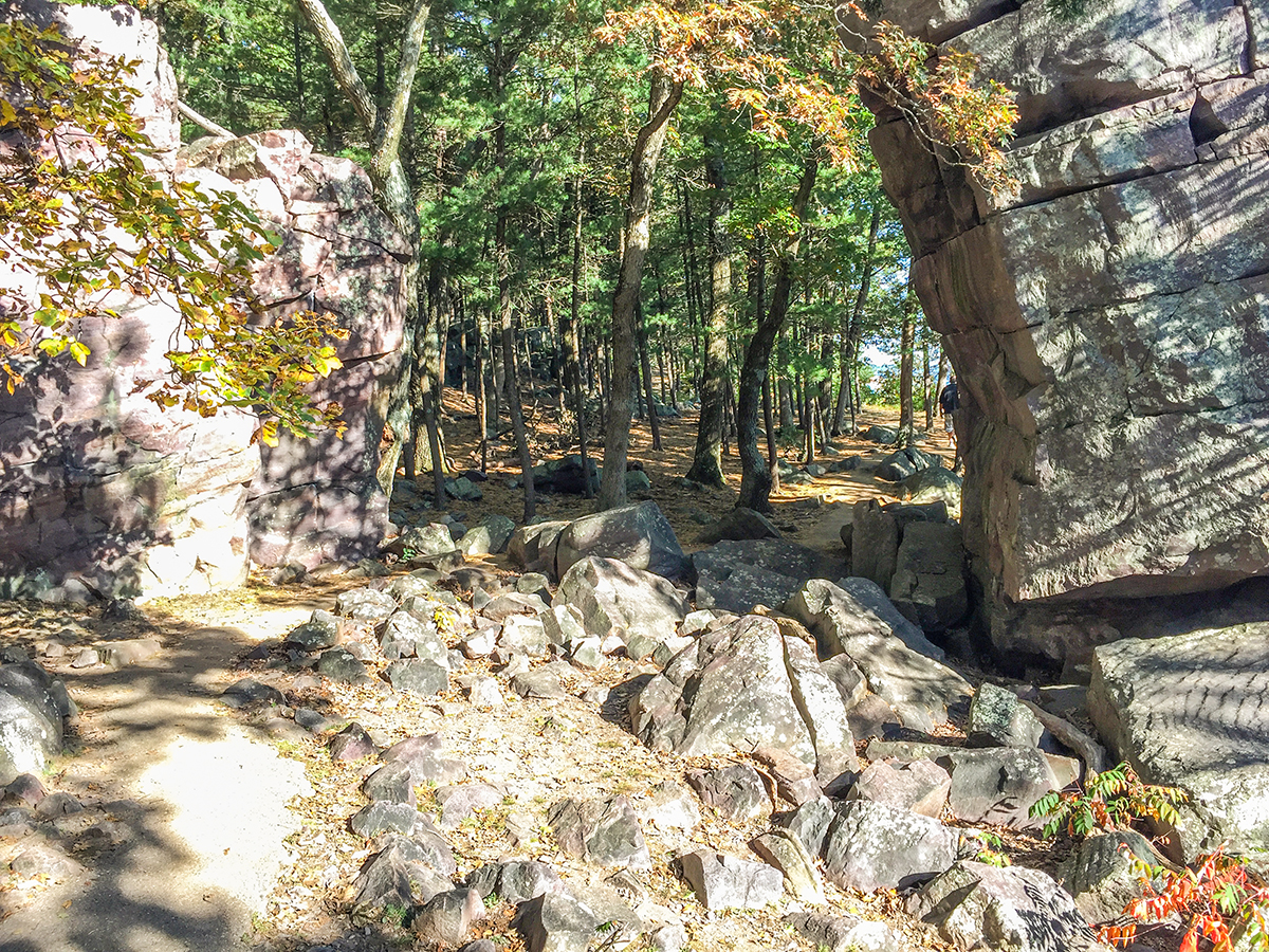
| East Bluff Trail at Devils Lake State Park |
|
| Rock climbers set up this tight rope on the South Face. A climber dangles in a harness after attempting the first steps |

|
| Roznos Meadow at Devil's Lake State Park |
|
| A side trail loop to Devil's Doorway on the South Face heads south off the East Bluff and Ice Age Trail |
|
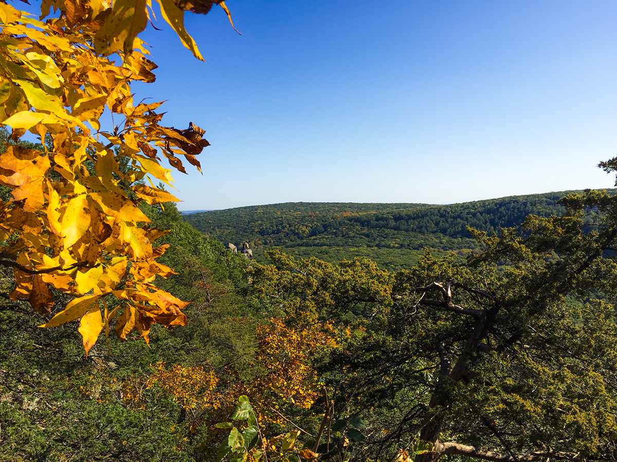
| View from the South Face at Devil's Lake State Park on the Ice Age Trail/East Bluff Trail |
|
| East Bluff Trail at Devil's Lake State Park |
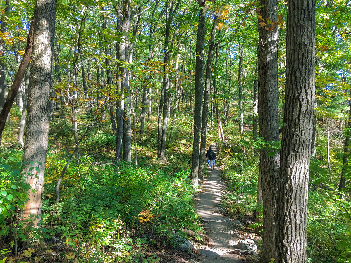
|
| East Bluff Trail at Devil's Lake State Park |
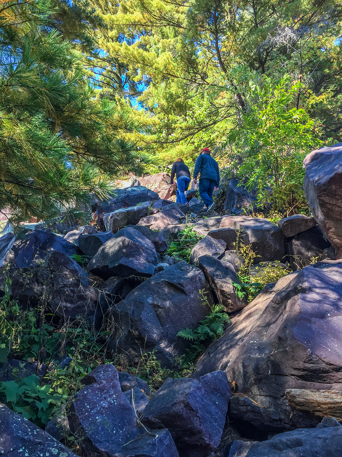
|
| Balanced Rock Trail at Devil's Lake State Park |
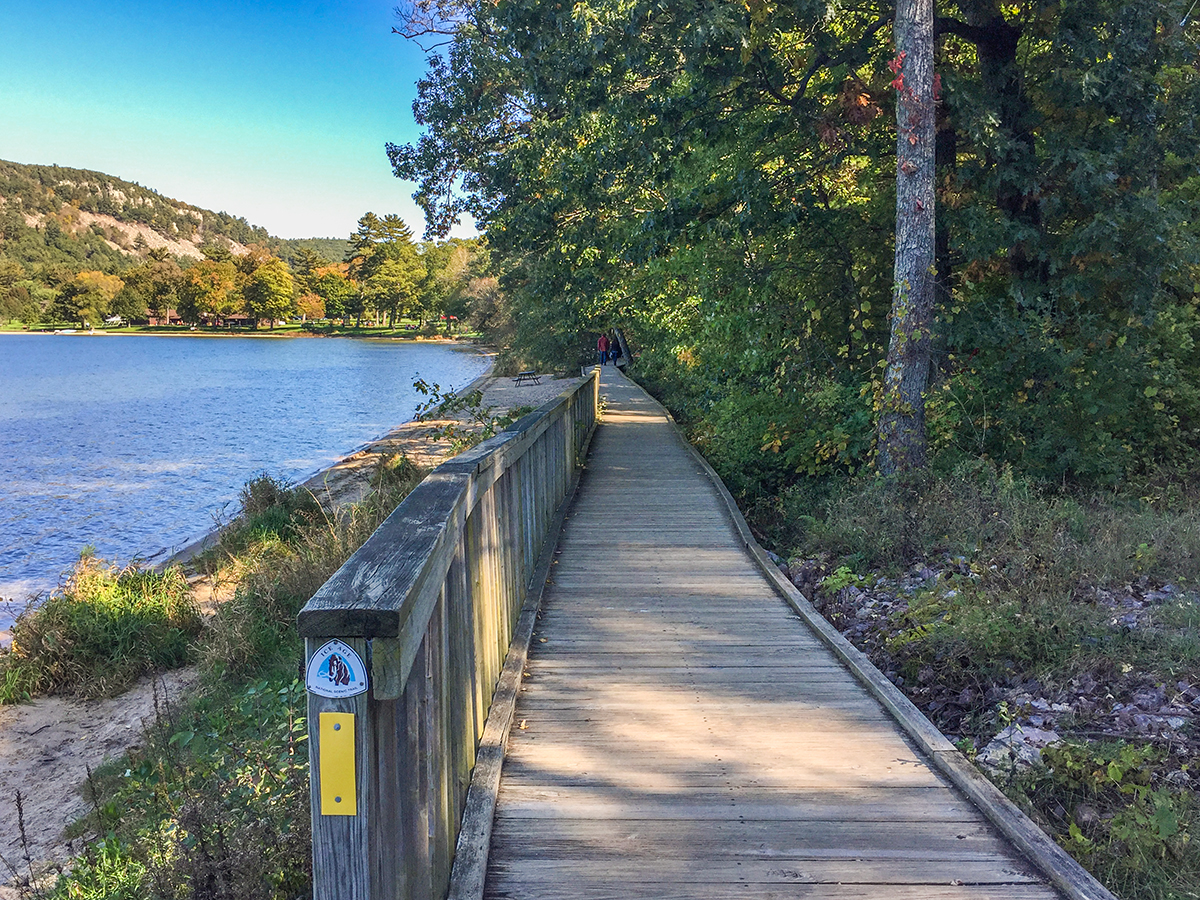
|
| Ice Age Trail boardwalk on the South Shore at Devil's Lake State Park |
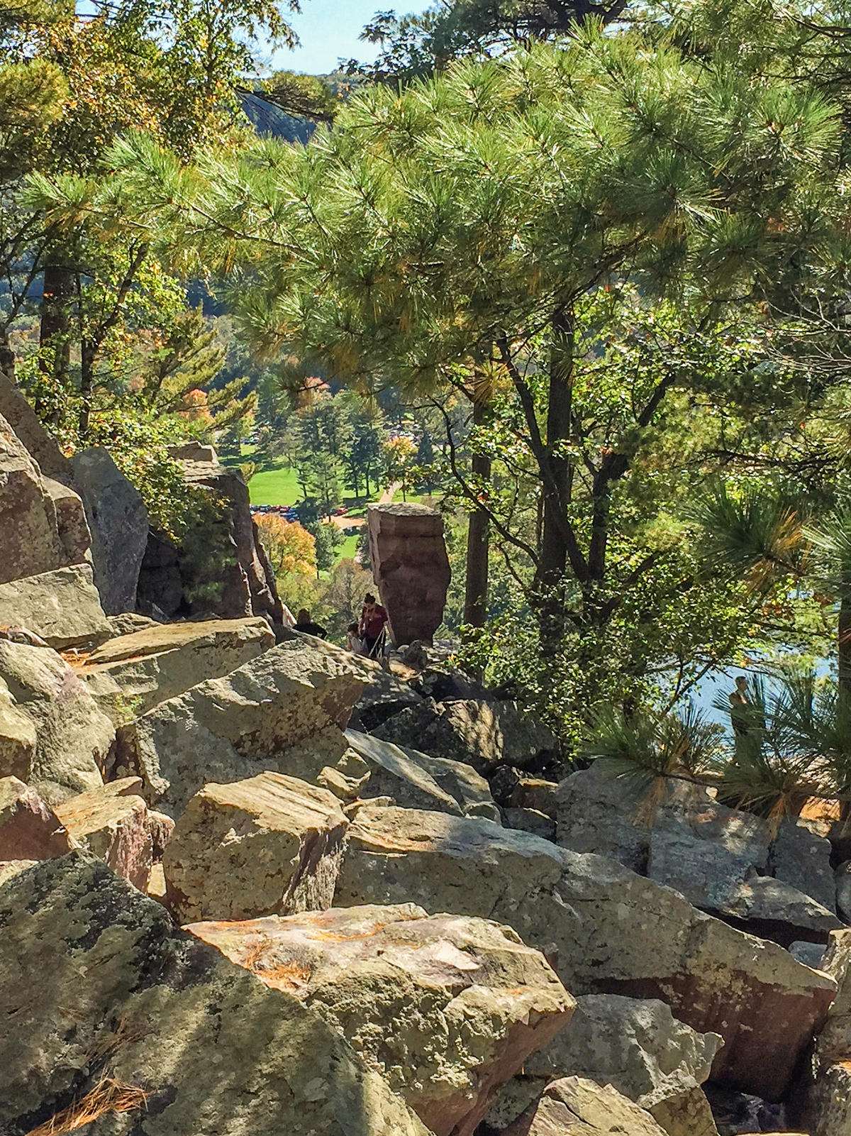
|
| Balanced Rock on the Balanced Rock Trail at Devil's Lake State Park |
|
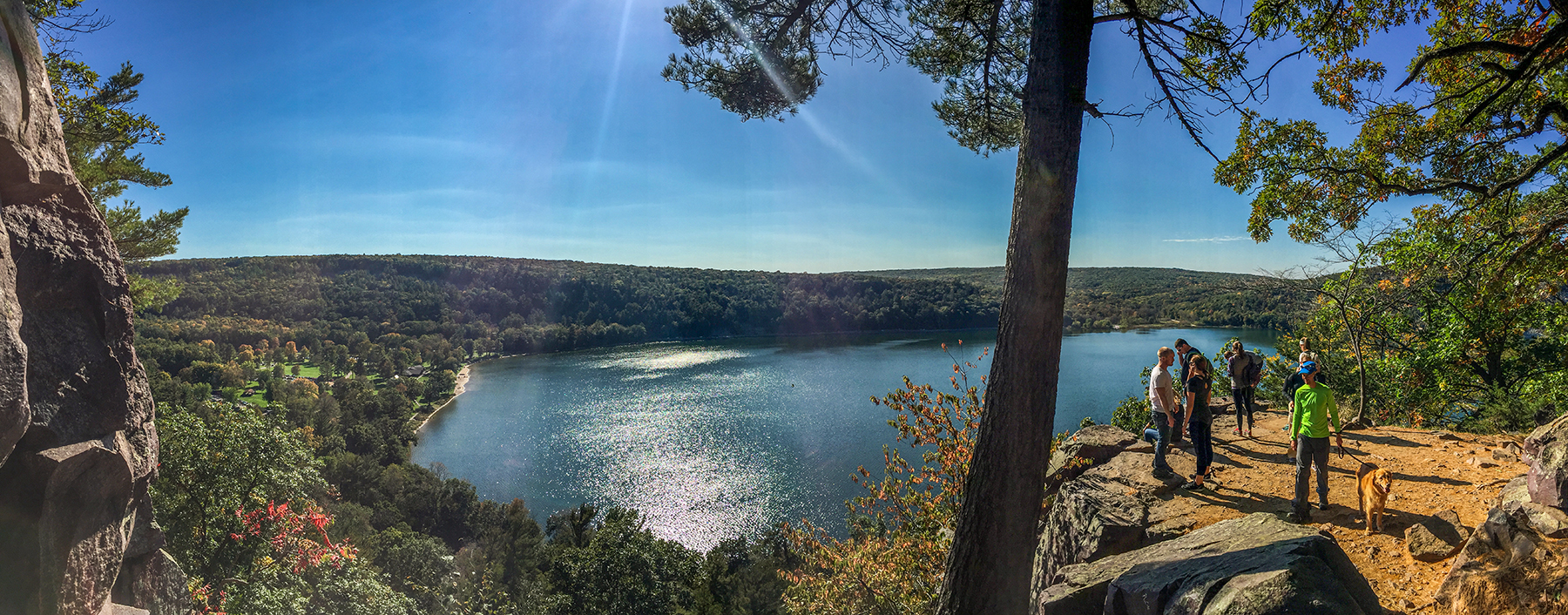
| View from atop the Balanced Rock Trail at the intersection with the East Bluff Trail at Devil's Lake State Park |

|
| Along the Ice Age Trail on the South Shore of the Ice Age Trail at Devil's Lake State Park |
Links
Ice Age National Trail Alliance
Ice Age National Trail - National Parks Service
Devil's Lake State Park
Devil's Lake State Park Trail Map
Other Trails at Devil's Lake State Park
East Bluff Trail
West Bluff Trail
Tumbled Rocks Trail
Balanced Rock Trail
Devil's Doorway Trail
Potholes Trail
CCC Trail
Group Camp and Grottos Trail
Roznos Meadow Trail
Steinke Basin Trail
Upland Trail
East Bluff Woods Trail
Johnson Moraine Trail
Ice Age Trail Sauk Point Segment
Ice Age Trail Merrimac Segment
Parfrey's Glen Trail

